What is recorded here
Cuniffe's Fort in Curraghaun is a worn oval rath on a grassy rise, reduced to a western bank and a shallow southern ditch. It may have held a family, a herder, or a frightened man seeking distance from trouble. The earth still marks the shape even when the wall has vanished, inviting imagination to complete what time erased.
On a rise in grassland. Known locally as 'Cuniffe's Fort' (Neary 1914, 121, no. 79), this very poorly preserved originally oval rath (N-S 26m) is defined by a bank and external fosse. The bank survives at W, and a scarp forms the enclosing element from E through S to WSW. The fosse is visible from SSE through S to W. No visible surface trace of the enclosing elements survives elsewhere.
The above description is derived from the published 'Archaeological Inventory of County Galway Vol. II - North Galway'. Compiled by Olive Alcock, Kathy de hÓra and Paul Gosling (Dublin: Stationery Office, 1999).
Date of upload: 05 August 2010
The monument record does not grant public access. Check the route and ask the landowner before entering private land.
- What survives
- Recorded monument
Places near here
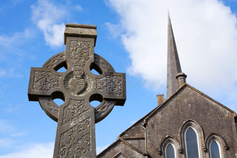 Stone CrossCross, High cross · 862 yd
 CrossCross, High cross (present location) · 908 yd
 Abbey in ruinsChurch · 929 yd
 Church in ConagherChurch · 1.6 mi
 Bawn in Kilcloony (dunmore By.)Bawn · 2.5 mi
 Site of Doonbally CastleCastle, unclassified · 2.6 mi
 European ashEuropean ash · 6.1 mi
 Mass RockNamed rock · 7.7 mi
 KnockmaaWood · 11 mi
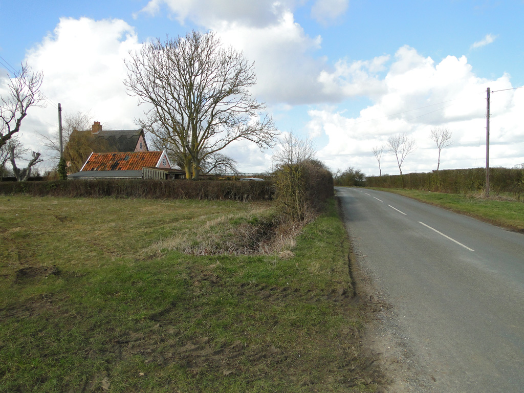 Cuckoo HillFairy fort / ringfort · 1.1 mi
 IndicatedEnclosure · 1.1 mi
 Enclosure in RusselstownEnclosure · 1.3 mi