What is recorded here
Curraghaun Fort is a worn earthen ring in Galway grassland, marked by an inner scarp, narrow ditch and outer bank. A quarry has bitten into its western edge, but the southeast gap still suggests an entrance where people may have entered, watched the Sinking River or kept animals close. The fort is small enough to walk around quickly, yet large enough to have shaped the lives of everyone who passed it.
In grassland. The Sinking River flows to S. Known locally as 'Curraghaun Fort' (Neary 1914, 122, no. 77), this poorly preserved subcircular rath (N-S 44m, E-W 41m) is defined by an inner scarp, intervening fosse and outer bank. Possible entrance at SE. A quarry has encroached upon the enclosing elements from W to N.
The above description is derived from the published 'Archaeological Inventory of County Galway Vol. II - North Galway'. Compiled by Olive Alcock, Kathy de hÓra and Paul Gosling (Dublin: Stationery Office, 1999).
Date of upload: 05 August 2010
The monument record does not grant public access. Check the route and ask the landowner before entering private land.
- What survives
- Recorded monument
Places near here
 IndicatedEnclosure · 1153 yd
 Enclosure in RusselstownEnclosure · 1691 yd
 Abbey in ruinsChurch · 1.0 mi
 Church in ConagherChurch · 1.2 mi
 Bawn in Kilcloony (dunmore By.)Bawn · 2.4 mi
 Site of Doonbally CastleCastle, unclassified · 3.0 mi
 European ashEuropean ash · 6.1 mi
 Mass RockNamed rock · 7.6 mi
 KnockmaaWood · 11 mi
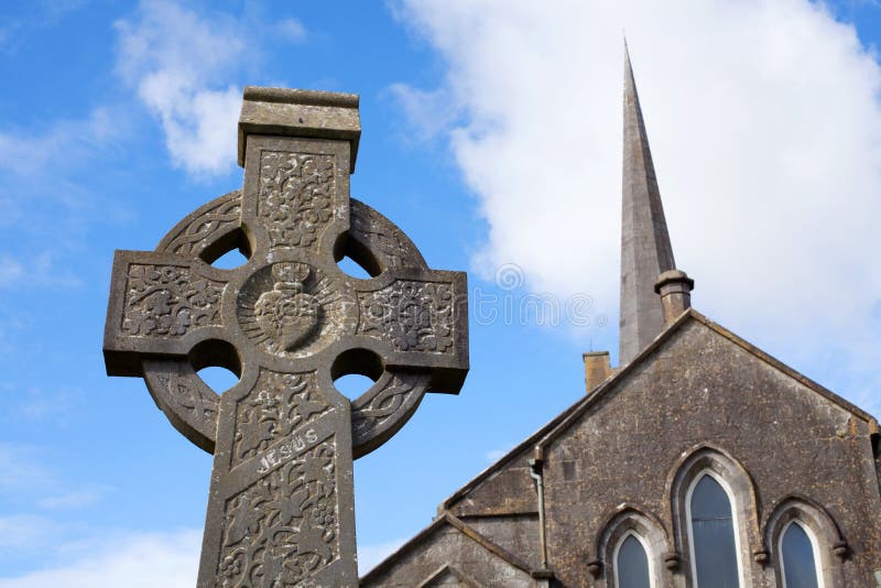 Stone CrossCross, High cross · 1714 yd
 CrossCross, Market cross · 1.1 mi
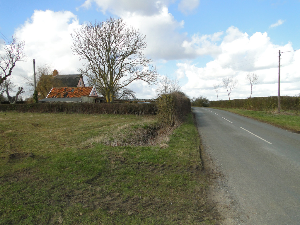 Cuckoo HillFairy fort / ringfort · 1.5 mi