What is recorded here
Fairy forts hide in plain sight because people still call them fairy forts. The earth ring in Curraghadoo lies on a slight rise in open grassland, large enough to walk around and quiet enough to forget. That is the trick: human hands made it, memory changed the name, and the land kept both truths alive.
On a slight rise in undulating grassland. Hachured as a ringfort on the 1916 OS 6-inch map. On inspection in 1998 portion of a circular platform was noted immediately SW of a curving field wall. The platform is visible on Digital Globe (2011-2013) extending for c. 28m NW-SE.
Compiled by: Mary Tunney
Date of upload: 4 November 2025
A fairy fort or earthen ringfort in Curraghadoo, likely dating to the early medieval period, is associated with local folklore surrounding fairy activity and otherworldly beings. It appears on the 1916 Ordnance Survey map and was noted in 1998 as a circular platform near a curving field wall.
The monument record does not grant public access. Check the route and ask the landowner before entering private land.
- What survives
- Recorded monument
Places near here
 Site of Tullamore CastleCastle, unclassified · 719 yd
 Enclosure in Derreen (kilshanny Ed)Enclosure · 892 yd
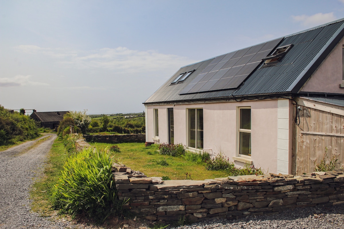 Enclosure in BallydeelyEnclosure · 908 yd
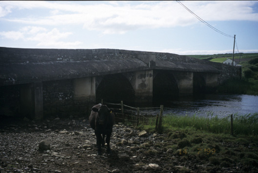 New Bridgebridge · 1.1 mi
 Saint Augustine's Catholic Churchchurch/chapel · 1.1 mi
 Kilmanahn GraveyardRuins · 1.6 mi
 Famine MemorialMemorial · 1.9 mi
 Dough CastleRuins · 2.0 mi
 Lahinch BeachBeach / strand · 2.7 mi
 John P. Holland CentreMuseum · 3.9 mi
 TullygarvanWood · 4.1 mi
 Doolin Road SinkCave · 4.2 mi