
What is recorded here
On a S-facing slope in pasture. A small oval enclosure (c. 32m NE-SW; 25m NE-SW) defined by low bank with a raised area in the interior. Visible on OSi MapGenie orthophotography (2013-2018).
Compiled by: Mary Tunney
Date of upload: 18 November 2025
The monument record does not grant public access. Check the route and ask the landowner before entering private land.
- What survives
- Recorded monument
Places near here
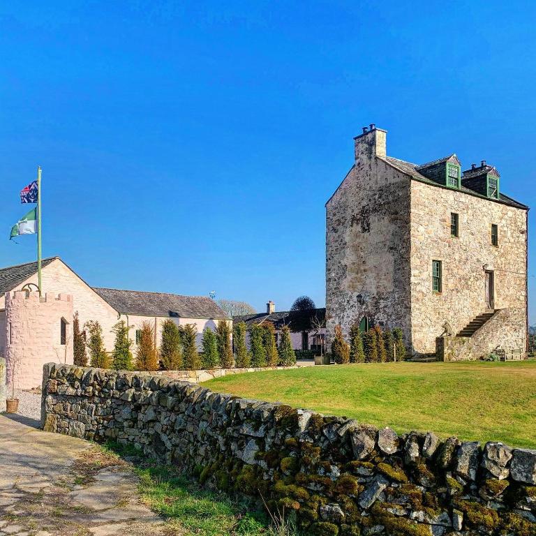
 Site of Tullamore CastleCastle, unclassified · 600 yd
 Ballaghboy FortArchaeological place · 957 yd
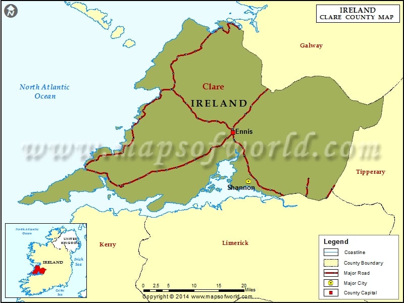 IndicatedFairy fort / earthen ringfort · 1014 yd
 Saint Augustine's Catholic Churchchurch/chapel · 1091 yd
 Kilshanny Church (in ruins)Religious house, Augustinian canons · 1596 yd
 Smithstown Castle (in ruins)Castle, tower house · 2.0 mi
 Kilmanahn GraveyardRuins · 2.1 mi
 Famine MemorialMemorial · 2.4 mi
 Lahinch BeachBeach / strand · 3.2 mi
 Doolin Road SinkCave · 3.9 mi
 Burren Centre KilfenoraVisitor information · 4.0 mi
 High CrossHeritage attraction · 4.0 mi
Other information
Photo: Credit not shown in the picture search · Rights wording not checked; contact us if this picture should be removed