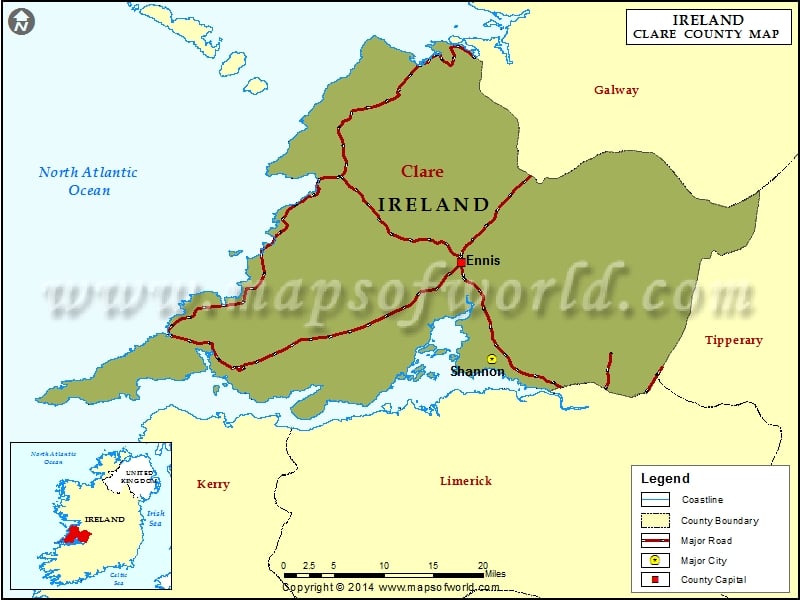
What is recorded here
On the plateau of a gentle NE-SW ridge in rough pasture. Listed as ‘Enclosure’ in the SMR (1992) and the RMP (1996). Visible on Digital Globe (2011-2013) as a ploughed-out circular area (diam. c. 38m) defined by a bank and fosse and on OSi orthophotography (1995) with possible entrances at E and SE. On inspection in 1998 there were no visible remains at ground level. A series of low banks and shallow ditches had been noted by the landowners but they were not distinguishable as a fort.
Compiled by: Mary Tunney
Date of upload: 6 October 2025
The monument record does not grant public access. Check the route and ask the landowner before entering private land.
- What survives
- Recorded monument
Places near here
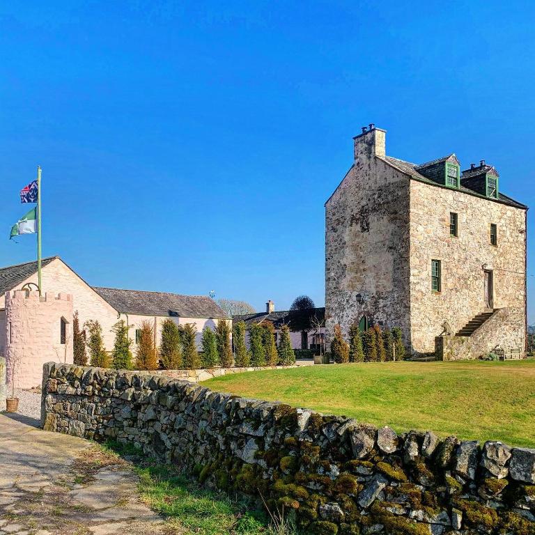 Ballaghboy FortArchaeological place · 353 yd
 Site of Tullamore CastleCastle, unclassified · 916 yd
 SheepfoldFairy fort / stone ringfort · 943 yd
 Saint Augustine's Catholic Churchchurch/chapel · 1200 yd
 Kilshanny Church (in ruins)Religious house, Augustinian canons · 1.2 mi
 Smithstown Castle (in ruins)Castle, tower house · 2.1 mi
 Kilmanahn GraveyardRuins · 2.5 mi
 Famine MemorialMemorial · 2.8 mi
 Doolin Road SinkCave · 3.3 mi
 Lahinch BeachBeach / strand · 3.4 mi
 Fisherstreet PotCave · 3.5 mi
 Ballyteigue Nature ReserveNature reserve · 3.8 mi
Other information
Photo: Credit not shown in the picture search · Rights wording not checked; contact us if this picture should be removed