What is recorded here
Fairy fort in Curragh, County Cork: a 45m earthen ring on an east-facing pasture slope, its shallow fosse cut by a roadway and field boundary. The low bank still traces most of the circle, swelling inside to forty centimetres and giving back outside to twenty. People may have lived there before roads and fields redrew the earth, or the fairies may have taken the usual local share of the shape.
In pasture, on E-facing slope. Roughly circular area (45m N-S; 41m E-W) defined by low rise (int. H 0.4m; ext. H 0.2m); shallow intervening fosse, truncated by roadway to E and by field boundary to S; outer bank survives as low rise SW->NNW with shallow external fosse. Visible as shadow site in aerial photograph (Dr D.D.C. Pochin Mould, March 1993).
The above description is derived from the published 'Archaeological Inventory of County Cork. Volume 4: North Cork' (Dublin: Stationery Office, 2000). In certain instances the entries have been revised and updated in the light of recent research.
Date of upload/revision: 14 January 2009
The monument record does not grant public access. Check the route and ask the landowner before entering private land.
- What survives
- Recorded monument
Places near here
 Marybrook Househouse · 974 yd
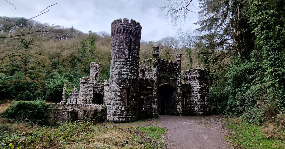 Ecclesiastical enclosure in Ballynoe (duhallow By., Kilbrin Par.)Ecclesiastical enclosure · 987 yd
 CastleCastle, unclassified · 1000 yd
 IndicatedKiln, lime · 1107 yd
 Burial Ground (Disused)Burial ground · 1282 yd
 Ballyheen Castle (Site of)Castle, unclassified · 1.3 mi
 European YewEuropean Yew · 1.9 mi
 Burial ground in AssolasBurial ground · 2.0 mi
 Graveyard in Ballygiblin (duhallow By.)Graveyard · 2.2 mi
 Hanna SheehyMemorial · 3.6 mi
 Kanturk CastleHeritage attraction · 3.9 mi
 Battle of LiscarrollMajor battlefield · 4.3 mi