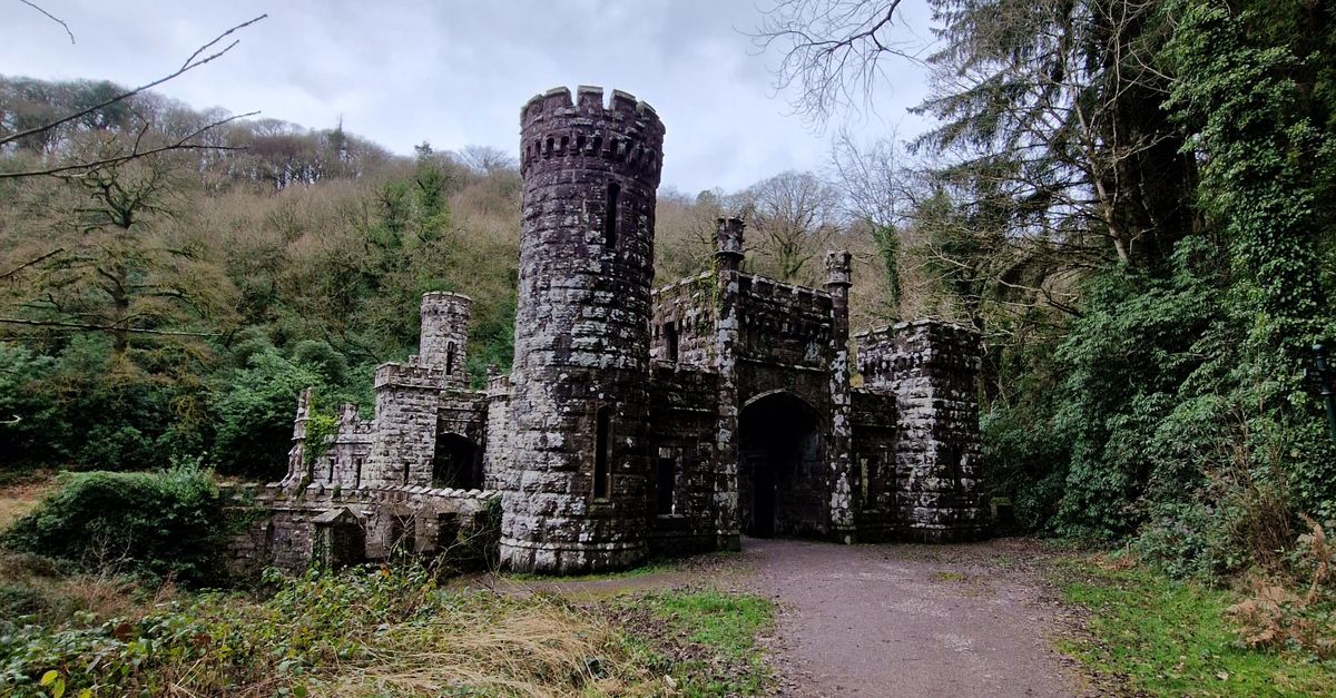
What is recorded here
Ballynoe is a 90 by 74 metre oval enclosure on a south-facing slope in County Cork, Ireland. Its earthen bank and scarp still mark the boundary, while a bullaun stone sits at the east side. The shape suggests worship or gathering rather than ordinary farming, and the surviving ridge may have guided people through the interior.
In pasture, on S-facing slope. Depicted as hachured oval enclosure on 1842 OS 6-inch map; on 1905 and 1936 OS 6-inch map as hachured scarp NE->ESE and hachured bank ESE->WSW. Oval area (90m N-S; 74m E-W) defined by earthen bank (int. H 1.2m; ext. H 0.9m) SSW->W, by slight rise W->E and elsewhere by scarp (H 1.9m), with slight internal lip. Interior raised on S side to compensate for hillslope; low ridge noted crossing N half of interior from E to W. Bullaun stone (13912) at E side of enclosure. Recorded by Bowman (1934, 403) as single-ramparted fort on Mrs Nash's land with 'about one-third of the circuit' still remaining (c. 3ft H) and interior c. 11/2ft higher than surrounding field.
The above description is derived from the published 'Archaeological Inventory of County Cork. Volume 4: North Cork' (Dublin: Stationery Office, 2000). In certain instances the entries have been revised and updated in the light of recent research.
Date of upload/revision: 14 January 2009
The monument record does not grant public access. Check the route and ask the landowner before entering private land.
- What survives
- Recorded monument
Places near here
 Fulachta FiadhFulacht fia · 426 yd
 Enclosure in Corbally (duhallow By.)Enclosure · 839 yd
 Church of Saint John the Baptistchurch/chapel · 1316 yd
 Ballyheen PiersGateway · 1509 yd
 CastleCastle, unclassified · 1721 yd
 Ballyheen Castle (Site of)Castle, unclassified · 1.3 mi
 European YewEuropean Yew · 2.0 mi
 Burial ground in AssolasBurial ground · 2.1 mi
 Graveyard in Ballygiblin (duhallow By.)Graveyard · 2.7 mi
 Hanna SheehyMemorial · 3.2 mi
 Kanturk CastleHeritage attraction · 3.6 mi
 Battle of LiscarrollMajor battlefield · 4.3 mi
Other information
Photo: Credit not shown in the picture search · Rights wording not checked; contact us if this picture should be removed