
What is recorded here
Not shown on 1842 and 1905 OS 6-inch maps. On W side of possible early ecclesiastical enclosure (13896). Levelled; no visible surface trace of burials. According to Bowman (1934, 418), burial ground was 'rough, uneven patch of ground in field called The Mainistir' and covered 'a space 25 yards by 15 yards'.
The above description is derived from the published 'Archaeological Inventory of County Cork. Volume 4: North Cork' (Dublin: Stationery Office, 2000). In certain instances the entries have been revised and updated in the light of recent research.
Date of upload/revision: 14 January 2009
The monument record does not grant public access. Check the route and ask the landowner before entering private land.
- What survives
- Recorded monument
Places near here
 Monastery (Remains of)Ecclesiastical enclosure · 12 yd
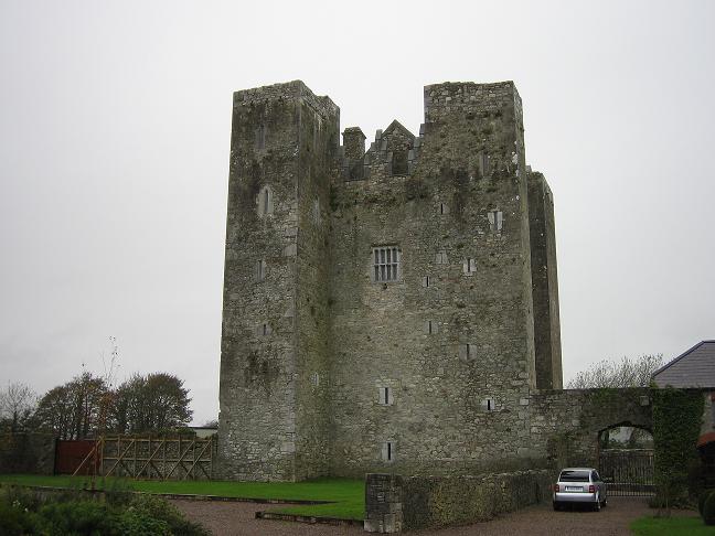 BarrowBarrow, ring-barrow · 562 yd
 IndicatedKiln, lime · 618 yd
 Castlecor HouseCountry house · 1197 yd
 CastleCastle, unclassified · 1352 yd
 Ballyheen Castle (Site of)Castle, unclassified · 1.7 mi
 Graveyard in Ballygiblin (duhallow By.)Graveyard · 1.8 mi
 European YewEuropean Yew · 2.1 mi
 Burial ground in AssolasBurial ground · 2.2 mi
 Battle of LiscarrollMajor battlefield · 4.2 mi
 Hanna SheehyMemorial · 4.2 mi
 Kanturk CastleHeritage attraction · 4.4 mi
Other information
Photo: Credit not shown in the picture search · Rights wording not checked; contact us if this picture should be removed