What is recorded here
Barretts By. held a forty-metre earthen ring on a south-facing slope, visible in nineteenth-century surveys before local work flattened much of it. The landowner called it a fairy fort, a name that often masks an ordinary human boundary or dwelling. What remains is a shallow circular depression with low rises, yet the shape still resists forgetting.
In pasture, on S-facing slope. Depicted as hachured circular enclosure (diam. c. 40m) on 1842 and 1904 OS 6-inch maps; as circular area (diam. c. 30m) surrounded by fosse on 1939 OS 6-inch map. According to landowner, levelledc. 1978; interior defined by two banks. Survives as circular area enclosed by shallow depression with low rise on either side. Crop mark in aerial photograph (CASAP) also shows evidence of outer bank.
The above description is derived from the published 'Archaeological Inventory of County Cork. Volume 3: Mid Cork' (Dublin: Stationery Office, 1997). In certain instances the entries have been revised and updated in the light of recent research.
Date of upload/revision: 14 January 2009
The monument record does not grant public access. Check the route and ask the landowner before entering private land.
- What survives
- Recorded monument
Places near here
 Firmount Bridgebridge · 1294 yd
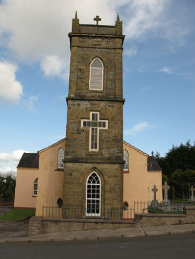 St Joesph's Roman Catholic Churchchurch/chapel · 1443 yd
 Lackabane LiosFairy fort / earthen ringfort · 1.1 mi
 Fulacht FiadhFulacht fia · 1.4 mi
 New TipperaryVisitor information · 1.4 mi
 Ballyvodane Castle (in Ruins)Castle, unclassified · 1.6 mi
 Lyradane MountainMountain / peak · 3.2 mi
 Saint Bartholomew's WellSpring · 3.6 mi
 Rock HillMountain / peak · 4.1 mi
 Castle (Site of)Castle, Anglo-Norman masonry castle · 4.3 mi
 Knockduff Wind FarmVisitor information · 4.4 mi
 Oldcastle WoodWood · 4.7 mi