What is recorded here
Fairy forts are human origins wearing a misleading name, and this is one of them: an earthen ringfort in Curheen, County Galway. Its oval measure is about fifty metres north-south and forty-five east-west, with a causewayed entrance gap at the north-east and a field wall bordering the south and south-west. The folklore is a later invention; the earthwork is the fact.
In undulating rough pastureland. Poorly preserved oval rath (c. 50m N-S; c. 45m E-W) defined by a bank and fosse with traces of a possible outer bank at NNW. There is a causewayed entrance gap at NNE. The fosse is visible from S through W to NNW. A field wall borders the monument from S to SW. See also GA105-073001-.
Compiled by: Galway Archaeological Survey, UCG
Date of upload: 4 December 2017
The monument record does not grant public access. Check the route and ask the landowner before entering private land.
- What survives
- Recorded monument
Places near here
 Ash IslandIslet · 617 yd
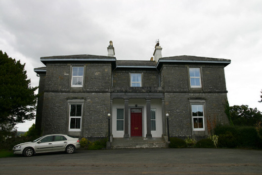 Coorheen Housecountry house · 681 yd
 Enclosure in Grange (loughrea By.)Enclosure · 1038 yd
 LisnarahaFairy fort / stone ringfort · 1124 yd
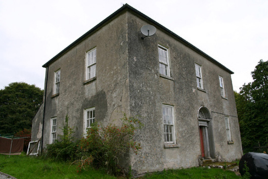 Glenvillecountry house · 1330 yd
 Island McCooIslet · 1594 yd
 Long PointHeadland · 1.1 mi
 Site of CastleCastle, unclassified · 1.5 mi
 Site of Cloonoo CastleCastle, unclassified · 2.0 mi
 Scalpeen RockNamed rock · 4.1 mi
 Dartfield Horse MuseumHeritage attraction · 5.5 mi
 Derrybrien Bog SlideHeritage attraction · 6.4 mi