What is recorded here
Fairy fort / earthen ringfort in Cummeen is a fairy fort or earthen ringfort in Cummeen, County Sligo, Ireland. The site contains a semi-circular bank enclosing roughly fifty-four metres of ground, with a gate breaking the southeast edge and brambles hiding much of the structure. It appeared as a large circular enclosure on the 1837 and 1940 OS maps, while a rectangular building now occupies the centre near the surrounding farmyard.
In farmyard, on level ground. Depicted as a large, roughly circular enclosure on the 1837 and 1940 editions of the OS 6-inch map. Remains comprise a semi-circular area enclosed from N to SE by a bank (diam. c. 54m; overall Wth 4m; H 2.1m). The bank is barely discernable through a mantle of brambles. There is a break (Wth 3.25m) at SE, which currently incorporates a gate. A farmyard occupies area to NW and SW. At the centre of the interior is a rectangular building (SL014-040002-).
Compiled by: Patrick F. O'Donovan
Date of upload: 21 April 2011
The monument record does not grant public access. Check the route and ask the landowner before entering private land.
- What survives
- Recorded monument
Places near here
 Stone CircleEnclosure · 810 yd
 Lady WellHoly well · 893 yd
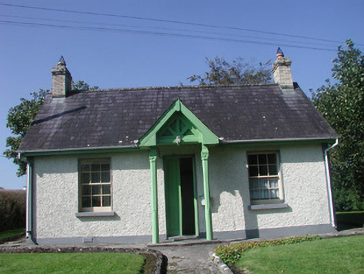 Rathcarrick Housegate lodge · 919 yd
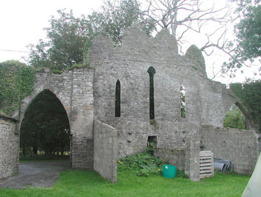 Cummeen Househouse · 1071 yd
 Knocknarea trailWalking route · 1.7 mi
 Carrowmore Megalithic CemeteryHeritage attraction · 1.8 mi
 Carrowmore Visitors CentreVisitor information · 1.8 mi
 KnocknareaMountain / peak · 1.9 mi
 Doonanpatrick IslandIslet · 1.9 mi
 Castle (in Ruins)Castle, unclassified · 1.9 mi
 Oyster IslandIslet · 2.2 mi
 The GlenWood · 2.3 mi