What is recorded here
Fairy fort / earthen ringfort in Culray stands on a low drumlin in County Longford, its 37.5-metre circle marked by a surviving earth bank and scarp. The site has lost its outer ditch and clear entrance, yet it still separates human pasture from the hidden life suggested by its name.
On top of a low drumlin in pasture. A raised circular area (diam. 37.5) enclosed from SSW-W-NNE by a low bank of earth and stone (Wth 4.2m; H 0.6m), which has been modified and incorporated into a field boundary, and elsewhere defined by a scarp (H 0.7-1.4m). A report in 1975 (SMR file) recorded a shallow external fosse and noted that the original entrance may have been at E. No visible trace of the fosse survives at ground level.
Compiled by: Patrick F. O'Donovan
Date of upload: 5 December 2011
This remains an important historical record, but the official description says the monument is no longer visible or has been destroyed. The monument record does not grant public access. Check the route and ask the landowner before entering private land.
- What survives
- No visible remains or recorded as destroyed
Places near here
 Columbkilles StoneRitual site, holy/saint's stone · 1541 yd
 Abbey (in Rns)Religious house, Augustinian canons · 1609 yd
 InchmoreIslet · 1654 yd
 Fortification in Inchmore IslandFortification · 1741 yd
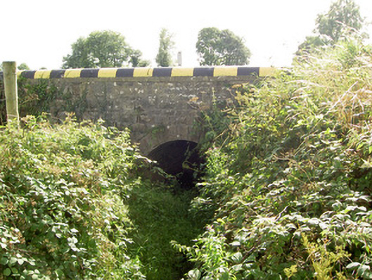 bridgebridge · 1.4 mi
 BawnBawn · 1.8 mi
 Derrycassan WoodsWood · 1.8 mi
 Cloonfin WoodForest · 2.4 mi
 Clonfin Ambush MemorialMemorial · 3.5 mi
 Arnaghan SouthMountain / peak · 3.8 mi
 Bully's Acregraveyard/cemetery, unknown · 4.0 mi
 Granard MotteMotte-and-bailey castle remains · 4.1 mi