What is recorded here
Fairy fort in Cullentragh, upper Loughtee By., County Cavan, Ireland: a raised circular area, 33.5m WNW-ESE and 31m NNE-SSW inside, enclosed by a substantial earthen bank with traces of a fosse. Half the bank has been taken into the field boundary or levelled to barely half a metre above the ground, and the entrance has disappeared altogether. What remains is a shallow bowl in the landscape, large enough to hold a house, a herd, a hunt or a hundred years of forgetting.
Raised circular area (int. dims. 33.5m WNW-ESE; 31m NNE-SSW) enclosed by a substantial earthen bank and traces of a fosse. From W-N-SSE bank has been modified and incorporated into the field boundary. From SSE-S-W it has been levelled to only 0.5m above external ground level. Original entrance not recognisable.
The above description is derived from the published 'Archaeological Inventory of County Cavan' (Dublin: Stationery Office, 1995). In certain instances the entries have been revised and updated in the light of recent research.
Date of upload/revision: 22 December 2008
The monument record does not grant public access. Check the route and ask the landowner before entering private land.
- What survives
- Recorded monument
Places near here
 Castleterra ForestForest · 794 yd
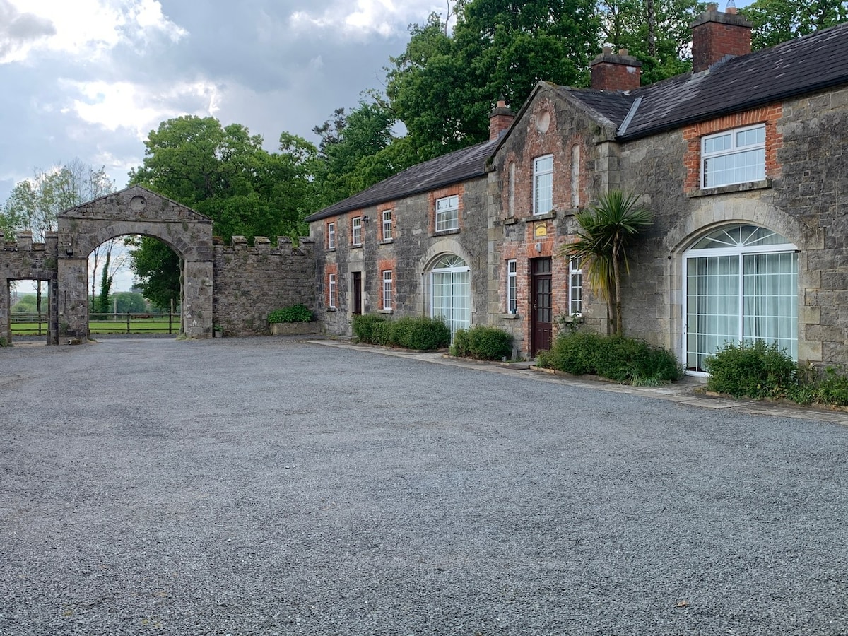 Enclosure in Fartan LowerEnclosure · 952 yd
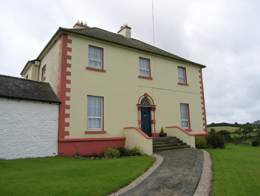 Castleterra Rectoryrectory/glebe/vicarage/curate's house · 1124 yd
 Enclosure in OuleyEnclosure · 1163 yd
 Grave Yard HachuredChurch · 1228 yd
 Shantemon ForestForest · 1331 yd
 CorgarveMountain / peak · 1.6 mi
 Garden IsleIslet · 1.7 mi
 Ballyhaise Ho.Castle, unclassified · 1.8 mi
 BillisMountain / peak · 2.0 mi
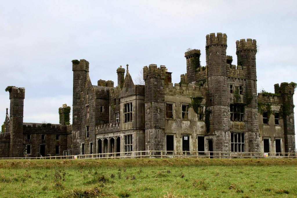 CastleCastle, unclassified · 2.0 mi
 Owen Roe O'Neill graveMemorial · 3.4 mi