What is recorded here
Fairy forts are human ringforts misnamed by folklore, often holding buried hearths and living scars. Cullendragh is no exception: a circular earthwork with a ramp, causeway, ditch and outer bank on an east-facing rise. The fairy label is a story, not a fact. The shape is a home, a defensible place where people stood, entered and lived.
Situated on a rise which is on an E-facing slope. This is a raised circular, slightly domed (H 0.8-1.2m) and overgrown platform (diam. 24m NE-SW) defined by a scarp (H 2.2-2.5m) and fosse (Wth of top 8-9.2m; Wth of base 1.8-3.8m; ext. D 0.3-0.5m) with an outer bank (Wth of base 4.2-4.7; ext. H 0.8-0.9m). There is a ramp entrance (Wth of base 1.8m) and causeway (Wth of top 2.2m; H 0.4m) at E (max. ext. diam. 48m NE-SW).
The above description is derived from the published 'Archaeological Inventory of County Meath' (Dublin: Stationery Office, 1987). In certain instances the entries have been revised and updated in the light of recent research.
Revised by: Michael Moore
Date of revision: 26 October 2018
The monument record does not grant public access. Check the route and ask the landowner before entering private land.
- What survives
- Recorded monument
Places near here
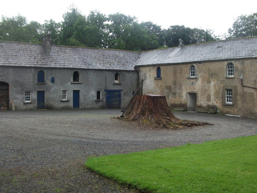 Farren Connellstables · 1321 yd
 Ballynascarry Housefarm house · 1498 yd
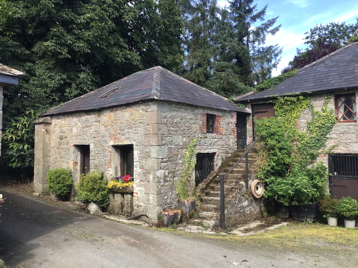 Enclosure in BobsgroveEnclosure · 1652 yd
 Stone CrossCross, Wayside cross · 1.1 mi
 Bob's GroveForest · 1.2 mi
 MullaghmeenMountain / peak · 1.3 mi
 Ross CastleCastle, tower house · 1.4 mi
 Mullaghmeen White WalkWalking route · 1.5 mi
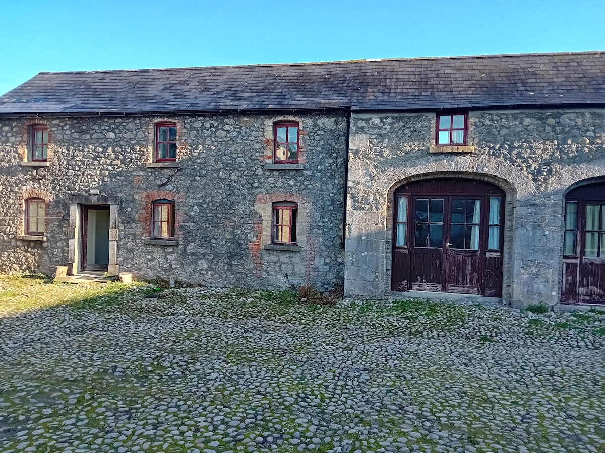 Bawn in TullystownBawn · 1.6 mi
 Mullaghmeen Red WalkWalking route · 1.7 mi
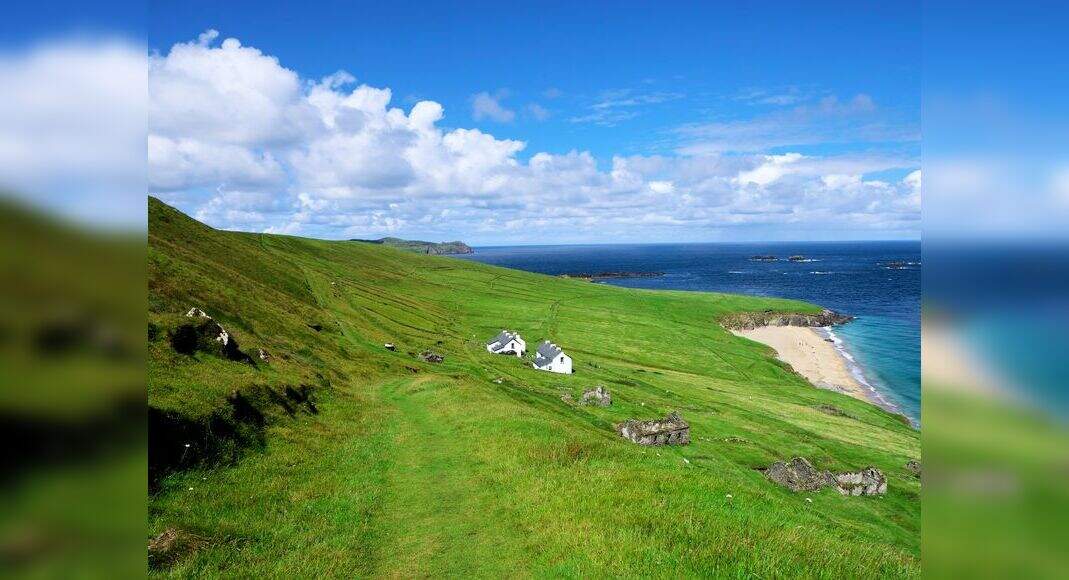 Inchicup IslandIslet · 1.7 mi
 Ross BayBay · 1.7 mi