What is recorded here
That is the end of the evidence available in the provided source.
In level pasture, bordered by demesne woodland and sports field. Circular area (diam. c. 30m) defined by scarped edge (H 0.65m; Wth 1.45m), with external fosse (D 0.45m; Wth 2.1m) NW->NE. Field boundaries skirt base of scarp at E and S; these meet just SE of enclosure locating it in SE corner of field. Interior level and covered by dense overgrowth.
Compiled by: Denis Power
Date of upload: 26 August 2011
The monument record does not grant public access. Check the route and ask the landowner before entering private land.
- What survives
- Recorded monument
Places near here
 Country house in Castle DemesneCountry house · 710 yd
 Enclosure in Castle DemesneEnclosure · 789 yd
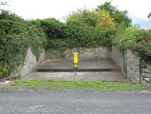 water pumpwater pump · 913 yd
 Burial GroundGraveyard · 936 yd
 Templars Castle (in ruins)Castle, Anglo-Norman masonry castle · 947 yd
 Limerick GreenwayWalking route · 2.9 mi
 Castle MahonCastle · 3.4 mi
 Sugar HillMountain / peak · 4.1 mi
 St. Luke's WellSpring · 4.3 mi
 Saint Ite's WellSpring · 4.7 mi
 European ashEuropean ash · 5.5 mi
 Ballagh MountainMountain / peak · 5.8 mi