What is recorded here
Situated in gently undulating pasture, with poorly drained land to N, E and SE. Ringfort (WM019-006----) lies c. 200m to NW. Depicted on the 1837 ed. OS 6-inch map as a circular-shaped tree-lined earthwork. Depicted on the revised 1913 ed. OS 25-inch map as an oval-shaped earthwork bisected by a railway line.
Monument described in 1970 as a roughly oval-shaped area (approx. dims. 50m NE-SW; 41m NW-SE) enclosed by a modern field bank from N-SE and from SSW-WNW. The monument has been bisected by a railway line running NW-SE and is much disturbed on either side. The remaining portions of the site would suggest it had a general NE-facing slope. A semi-circular quarry has been dug into the ridge across the surviving SW sector of the monument. The monument has been levelled across the NE sector. Monument is visible today as a roughly oval-shaped scrub-covered earthwork bisected by a railway line on Digital Globe aerial photography.
Compiled by: Alison McQueen, Vera Rahilly and Caimin O’Brien
Date of upload: 18 February 2019
The monument record does not grant public access. Check the route and ask the landowner before entering private land.
- What survives
- Recorded monument
Places near here
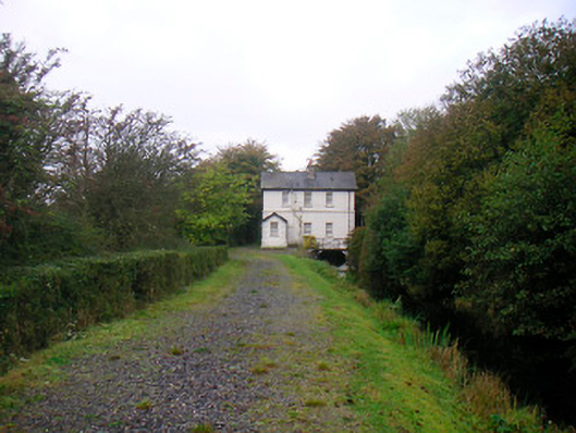 sluice/sluice gate, lock keeper's housesluice/sluice gate, lock keeper's house · 373 yd
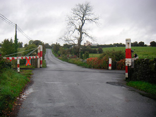 level crossinglevel crossing · 411 yd
 Castle (in Ruins)Castle, tower house · 633 yd
 Saint Brigid's WellSpring · 955 yd
 Lady's IslandWood · 996 yd
 Ecclesiastical enclosure in Culleen MoreEcclesiastical enclosure · 1005 yd
 TullaghanCastle, tower house · 1401 yd
 Church IslandIsland · 1.0 mi
 Srudarra IslandIslet · 1.2 mi
 United Nations War MemorialMemorial · 1.2 mi
 Long PlantingForest · 1.6 mi