What is recorded here
Clear records identify the site as a ringfort - rath in Cullaboy Upper.
Raised circular area (int. diam. c. 42m) enclosed by a low earthen bank and a wide, shallow fosse. Slight traces of a counterscarp bank at the outer lip of the fosse at W. Field boundary runs alongside the outer edge of fosse at N and E. Original entrance not recognisable.
The above description is derived from the published 'Archaeological Inventory of County Cavan' (Dublin: Stationery Office, 1995). In certain instances the entries have been revised and updated in the light of recent research.
Date of upload/revision: 22 December 2008
The monument record does not grant public access. Check the route and ask the landowner before entering private land.
- What survives
- Recorded monument
Places near here
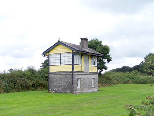 Ballywillin Railway Stationsignal box · 1172 yd
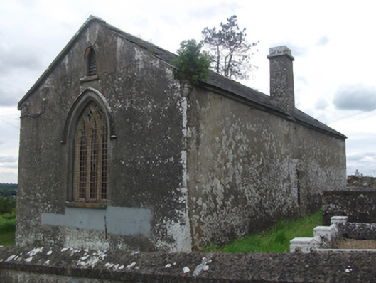 Drumloman Church of Ireland Churchchurch/chapel · 1306 yd
 CarrickabaneMountain / peak · 1548 yd
 IndicatedCrannog · 1699 yd
 Enclosure in SpringtownEnclosure · 1726 yd
 Moynagh Upper ForestForest · 1.5 mi
 CarrickMountain / peak · 1.6 mi
 Carrick RockWood · 1.6 mi
 Sporting RockIslet · 2.0 mi
 Watty's RocksIslet · 2.0 mi
 IdicatedCastle, unclassified · 2.7 mi
 Bakers FortCastle, ringwork · 3.1 mi