What is recorded here
Crumlin holds a broken oval of earth sixty metres long on a west-facing slope, its boundary cut by later field walls. The rath has lost much of its shape, yet the remaining bank still marks the edge of a place where people once drew a line between inside and outside. That line may have separated a home, a ritual ground or a claim on the land. The earth remembers the shape even when the name has faded.
On W-facing slope of a rise in undulating grassland. Poorly preserved oval rath (N-S 60.5m, E-W 52.6m) defined by a bank. A field wall cuts the monument at NNE and W and no visible surface trace of the enclosing element survives to NW of it.
The above description is derived from the published 'Archaeological Inventory of County Galway Vol. II - North Galway'. Compiled by Olive Alcock, Kathy de hÓra and Paul Gosling (Dublin: Stationery Office, 1999).
Date of upload: 05 August 2010
The monument record does not grant public access. Check the route and ask the landowner before entering private land.
- What survives
- Recorded monument
Places near here
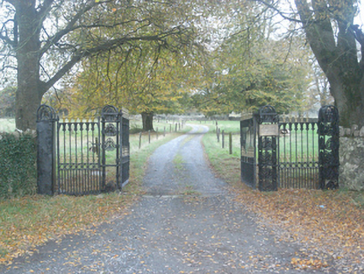 Crumlin Park Housegate lodge · 365 yd
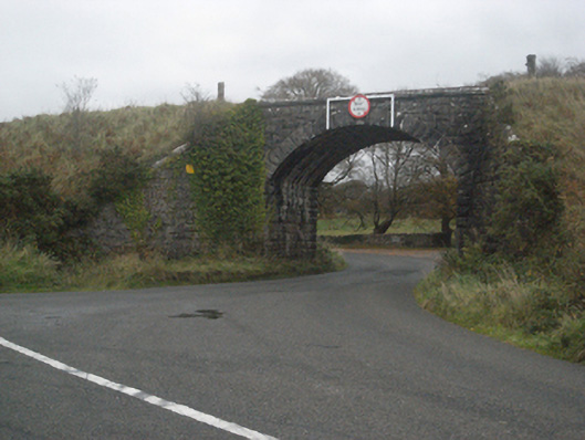 bridgebridge · 389 yd
 SycamoreSycamore · 535 yd
 Common WhitebeamCommon Whitebeam · 623 yd
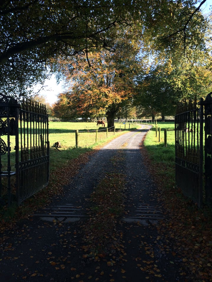 IndicatedFairy fort / ringfort · 810 yd
 Castle FrenchCastle, unclassified · 830 yd
 Enclosure in Ballynamona (abbey West Ed),crumlinEnclosure · 1497 yd
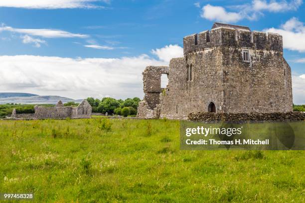 Kilskeagh castleCastle · 2.5 mi
 Knockmoy AbbeyHeritage attraction · 3.5 mi
 Mass RockNamed rock · 11 mi
 Royal Tara Visitor CentreHeritage attraction · 12 mi
 Oileán an BhreathnaighIslet · 13 mi