What is recorded here
Fairy fort in Crover, County Monaghan, is a circular earthen ringfort on the east shoulder of a ridge, its grass and fern-covered interior measuring nearly thirty-seven metres across. An overgrown bank, still standing two to three metres high outside, circles the space, with faint stone facing and a shallow outer ditch marking its edges. The partly blocked east-south-east entrance suggests a place once entered deliberately, perhaps for shelter, ritual or ordinary neighbourly life, before ferns and forgetting closed it to most people.
Situated on the E shoulder of an E-W ridge. This is a circular grass and fern-covered area (diam. 36.8m E-W; 35.4m N-S) defined by an overgrown earthen bank (Wth of base 4.8m-5m; int. H 1m; ext. H 2.3-2.7m), with traces of an outer stone facing NNE-E-SSW and occasional traces of an outer fosse (at SW: Wth 1.4m; D 0.1m). The original entrance (Wth of base 2.4m), now partly blocked, is at ESE. The interior had become largely overgrown by 2000 (OSAP).
The above description is derived from the published 'Archaeological Inventory of County Monaghan' (Dublin: Stationery Office, 1986). In certain instances the entries have been revised and updated in the light of recent research.
Compiled by: Michael Moore
Date of revision: 27 February 2018
The monument record does not grant public access. Check the route and ask the landowner before entering private land.
- What survives
- Recorded monument
Places near here
 Saint Patrick's Catholic Churchchurch/chapel · 1461 yd
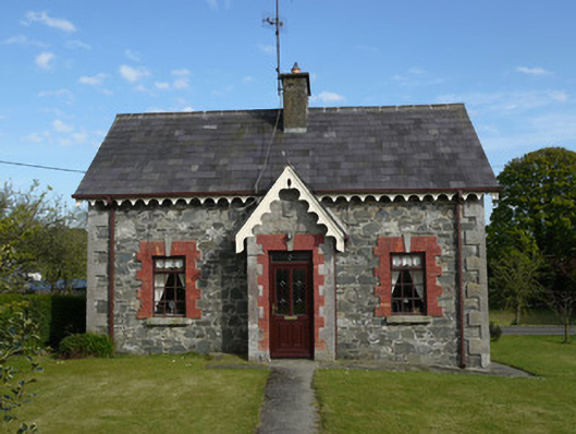 worker's houseworker's house · 1522 yd
 MinnavarmoreCourt tomb · 1758 yd
 Fairy fort / earthen ringfort in AghadreenanFairy fort / earthen ringfort · 1.1 mi
 Fincarn HillMountain / peak · 1.3 mi
 KnockreaghMountain / peak · 1.8 mi
 TobernagalliaghSpring · 2.5 mi
 Gully IslandIslet · 2.7 mi
 Rock IslandIslet · 3.0 mi
 Mannan Castle (in ruins)Castle, Anglo-Norman masonry castle · 3.4 mi
 Lough MucknoLake and park landscape · 4.2 mi
 Bawn in OnomyBawn · 4.2 mi