What is recorded here
Thirty-two metres of grass and rush stretch across the drumlin summit, bounded by a five-metre earthen bank that has watched County Monaghan since before McCrea drew his map in 1793. The southern entrance still points toward the horizon, inviting whoever arrives to walk across the causeway and stand inside the circle. Two faint depressions mark the western edge, perhaps places where people dug earth to build the wall or simply sat to watch the sky. The fort keeps its shape because the land remembers the hands that shaped it.
Situated at the SE summit of a broad NW-SE drumlin ridge. This rath is depicted on McCrea’s map of County Monaghan (1793) and on the 1834 and 1907 editions of the OS 6-inch map. It is a circular grass and rush-covered area (diam. 32m NE-SW; 29m NW-SE) defined by a grass-covered earthen bank (Wth c. 5m; int. H c. 0.2-0.4m; ext. H c. 2.8-c. 3.4m) with some bushes and a complete outer fosse that is best seen (Wth 2.5-3m; ext. D ) SW-NW but obscured in large part by an external field bank. The entrance (Wth of base 2.2m) and causeway (Wth of top 2.3m; H 0.7m) are at SE. Inside a gap in the bank at SW are two slight circular depressions (diam. c. 4-5m; D 0.6m) with grass-covered mounds beside them that are probably quarries.
The above description is derived from the published 'Archaeological Inventory of County Monaghan' (Dublin: Stationery Office, 1986). In certain instances the entries have been revised and updated in the light of recent research.
Revised by: Michael Moore
Date of revision: 8 May 2018
The monument record does not grant public access. Check the route and ask the landowner before entering private land.
- What survives
- Recorded monument
Places near here
 Caldragh fortEnclosure, large enclosure · 824 yd
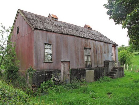 Radeerpark Creamerycreamery · 1229 yd
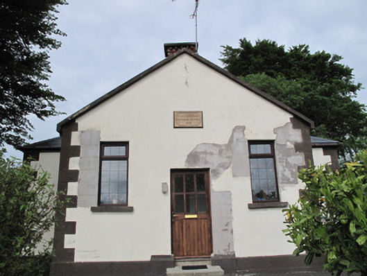 Radeerpark National Schoolschool · 1474 yd
 Radeerpark fortFairy fort / earthen ringfort · 1481 yd
 Common LimeCommon Lime · 2.0 mi
 Saint John's WellSpring · 2.2 mi
 KillycoonaghWood · 2.2 mi
 Tomb HillMountain / peak · 2.7 mi
 Roosky Castle (Site of)Castle, ringwork · 3.5 mi
 Lisarrilly HillMountain / peak · 3.7 mi
 Jaundice WellSpring · 4.2 mi
 Senator Billy Fox 1939 - 1974Memorial · 12 mi