What is recorded here
Half-buried beneath grass and road walls, the D-shaped ringfort in Crossdrum Upper still holds its shape on a quiet rise. A man-made passage has yawned open at its north-east edge since the nineteenth century, said to contain bone, while the main earthwork waits under turf like a sleeper refusing to wake.
Situated on a rise in an undulating landscape. It is not depicted as an antiquity on any map, but a Man-made underground passage (ME009-038002-) has been exposed at its NNE edge since the nineteenth century when bone was said to have been present (Rotheram 1893, 309). This is a grass-covered subcircular or D-shaped area (dims 20m NNW-SSE; 16m ENE-WSW) defined by a scarp (max. H 1.5m at NE) NNW-SE, but it is truncated by a NE-SW road wall at S and a NNW-SSE field wall at S.
The above description is derived from the published 'Archaeological Inventory of County Meath' (Dublin: Stationery Office, 1987). In certain instances the entries have been revised and updated in the light of recent research.
Compiled by: Michael Moore
Date of revision: 31 October 2018
The monument record does not grant public access. Check the route and ask the landowner before entering private land.
- What survives
- Recorded monument
Places near here
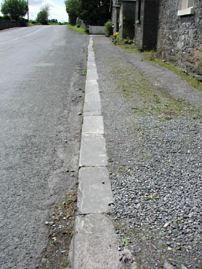 cobbles/flags/paving/kerbingcobbles/flags/paving/kerbing · 353 yd
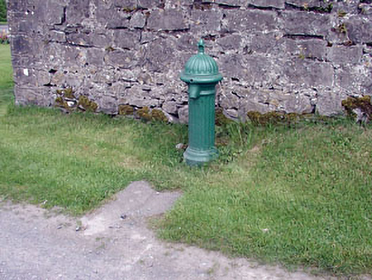 water pumpwater pump · 396 yd
 Enclosure in Crossdrum UpperEnclosure · 1179 yd
 Enclosure in TubrideEnclosure · 1625 yd
 Mount FortuneMountain / peak · 1.1 mi
 Memorial CrossMemorial · 1.3 mi
 MoatCastle, motte · 1.4 mi
 Zip WireHeritage attraction · 1.4 mi
 CastleCastle, unclassified · 1.5 mi
 European YewEuropean Yew · 1.5 mi
 Common LimeCommon Lime · 1.5 mi
 C11Named rock · 1.6 mi