What is recorded here
Situated on SE side of a very slight rise, in gently undulating pasture with good views to NE and SE. Depicted on the revised 1913 ed. OS 25-inch map as a suboval-shaped earthwork. Monument described as a subcircular-shaped area (dims. 35.5m E-W; 34m N-S) enclosed by a bank and external fosse. The bank is steep on the exterior and is almost reduced to a scarp, it is obscured by a field fence from SE-S and is levelled from S-SW-WSW where the monument is cut by the public road. There is a wide V-shaped fosse which is best preserved from WSW-W-WNW, is almost completely infilled from WNW-N-E-SE and is not visible from S-SW-WSW, where the inner bank may have been levelled into it. There is a possible entrance gap at NE which consists of a narrow ramp leading up to the interior. The edges of this entrance are slightly defaced and may have been modernised. The fosse is very faint at this point yet a causeway seems to be discernible. The interior has a gentle SE-facing slope and traces of cultivation ridges running E-W. There is a small, shallow subrectangular-shaped depression (max. L 6.3m NW-SE; max. Wth 3.4m NE-SW; D 0.4m) of unknown significance just inside the upper edge of the scarp at NE. Monument is visible today as a subcircular tree-lined earthwork on Digital Globe aerial photography.
See attached profile of monument surveyed and drawn by the ASI.
Compiled by Alison McQueen, Vera Rahilly and Caimin O’Brien.
Date of upload: 06 November 2019
The monument record does not grant public access. Check the route and ask the landowner before entering private land.
- What survives
- Recorded monument
Places near here
 Ecclesiastical site in CrossanstownEcclesiastical site · 290 yd
 Hut site in BallinlaHut site · 562 yd
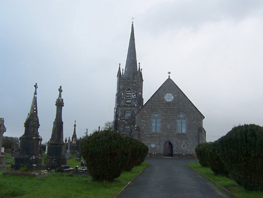 Saint Agnes's Catholic Churchchurch/chapel · 1232 yd
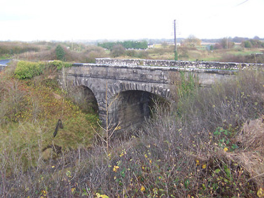 bridgebridge · 1539 yd
 Heathstown CastleCastle, tower house · 1.1 mi
 CastleCastle, unclassified · 1.3 mi
 ScregganWood · 7.2 mi
 Rahin WoodsForest · 7.5 mi
 Croppies' GraveMemorial · 7.8 mi
 CrossCross, Wayside cross · 1354 yd
 Partially hachuredFairy fort / earthen ringfort · 1562 yd
 Footy's Bridgebridge · 1572 yd