What is recorded here
Mortons and others built the fort, not fairies, though the name still belongs to wonder. The valley floor holds a round platform twenty-five metres across, ringed by a broad ditch and low earthworks that have forgotten their own edges. A leat still leaves the southwest ditch, carrying rain or memory somewhere beyond the grass. The entrance has vanished, but the shape remains clear enough to walk around and imagine who stood inside when the valley was new.
Located on the floor of a small NE-SW valley. This is an overgrown circular platform (diam. 25m NW-SE; 24m NE-SW; H 1.4m generally to 2m at SW, downslope) surrounded by a flat-bottomed fosse (Wth of top 5.4 at NW to 9m at SE; Wth of base 2-3.5m; ext. D 0.8-1.1m) NW-SE and by a berm (at SW: Wth 5m) elsewhere. A leat runs from the fosse at SW, but an original entrance is not identified.
The above description is derived from 'The Archaeological Inventory of County Leitrim' compiled by Michael J. Moore (Dublin: Stationery Office, 2003). In certain instances the entries have been revised and updated in the light of recent research.
Date of upload: 23 September 2008
The monument record does not grant public access. Check the route and ask the landowner before entering private land.
- What survives
- Recorded monument
Places near here
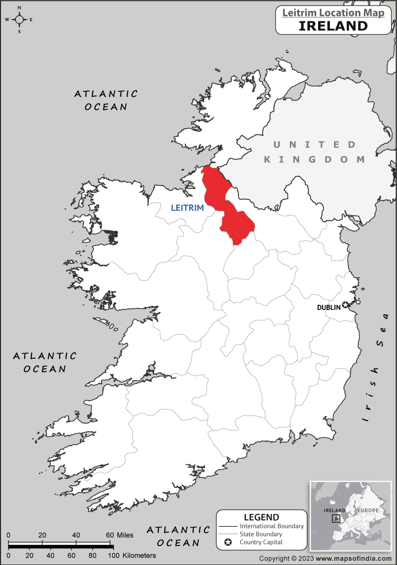 IndicatedCliff-edge fort · 477 yd
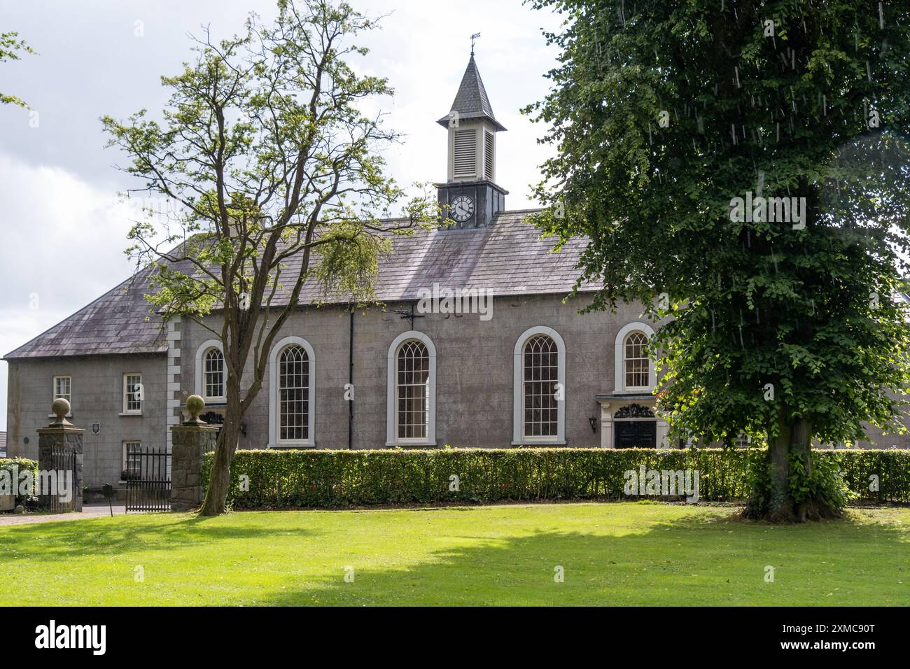 Site of Dernasmallan churchRuins · 580 yd
 Cromlin Bridge WoodWood · 857 yd
 DrumbadMountain / peak · 1265 yd
 St. Bridgets WellHoly well · 1.6 mi
 European ashEuropean ash · 1.6 mi
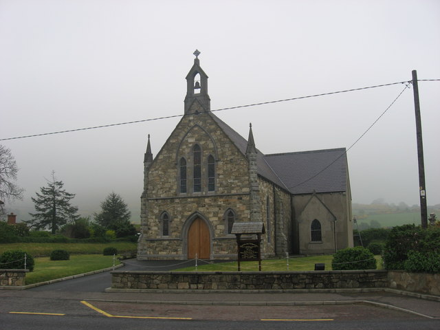 Church in OughteraghChurch · 1.7 mi
 DrumgownaghMountain / peak · 2.0 mi
 Turf IslandIsland · 2.8 mi
 Crane IslandIslet · 3.0 mi
 CastleCastle, tower house · 4.2 mi
 The UltachsMemorial · 4.3 mi