What is recorded here
Fairy forts are earthen ringforts, and Crohane is one, though it has lost its name and most of its shape. What remains is a shallow oval in farmland, barely high enough to mark the edge of a forgotten room. People may have lived there before the field took it back, but the land has spent centuries smoothing their choices out of sight.
In tillage on SE-facing slope. Oval area (25m N-S; 32.6m E-W) defined by scarp (H 1.65m). Interior slopes downhill NW-SE; slight depression in SE quadrant.
The above description is derived from the published 'Archaeological Inventory of County Cork. Volume 2: East and South Cork' (Dublin: Stationery Office, 1994). In certain instances the entries have been revised and updated in the light of recent research.
Date of upload/revision: 14 January 2009
The monument record does not grant public access. Check the route and ask the landowner before entering private land.
- What survives
- Recorded monument
Places near here
 Garrylucas EastSettlement cluster · 1.2 mi
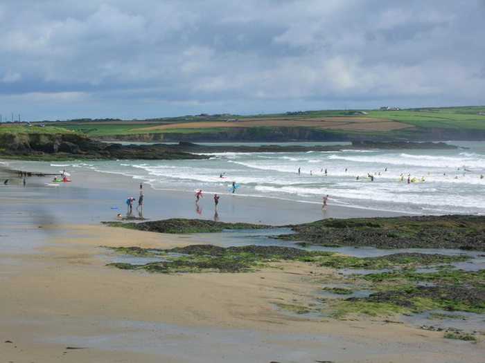 Garrylucas, White StrandBeach / strand · 1.3 mi
 Courtaparteen Famine VillageWood · 1.3 mi
 school master's houseschool master's house · 1.3 mi
 Grave YdGraveyard · 1.3 mi
 Old Head of Kinsale National Schoolschool · 1.4 mi
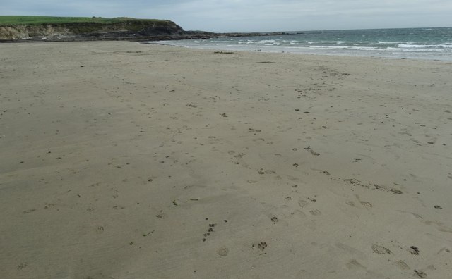 White StrandBeach / strand · 1.4 mi
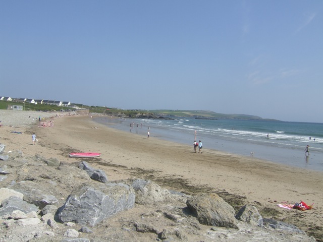 Garretstown StrandBeach / strand · 1.5 mi
 Sandy Cove IslandIslet · 2.0 mi
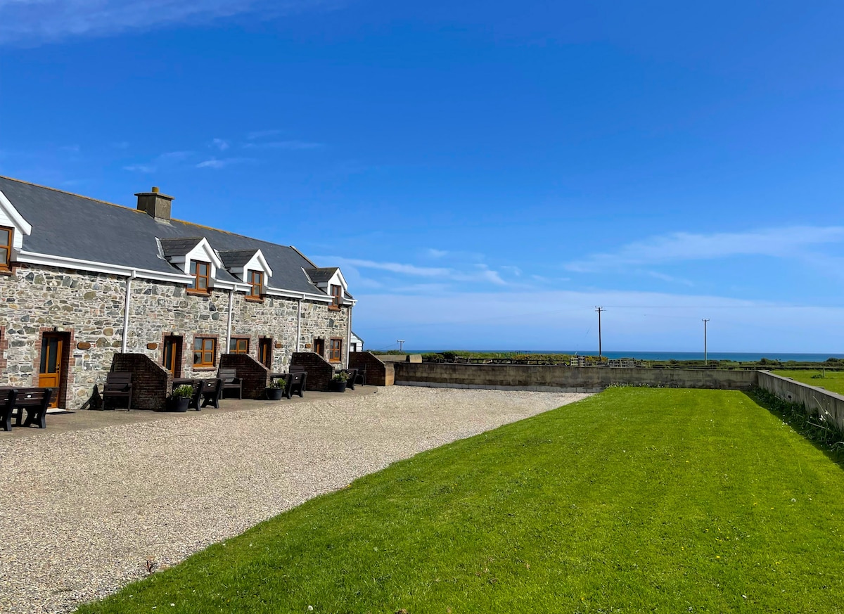 Kilmore WoodWood · 2.0 mi
 Ringfinnan 9/11 Garden of RemembranceMemorial · 2.2 mi
 Minane IslandIsland · 2.3 mi