What is recorded here
Croaghnacree held a thirty-five metre ringfort with a bank and outside ditch before ploughs erased it. Farms and fairies both claimed the circle, but soil and forgetting broke the shape. Aerial photographs still catch the ghost of its ditch and bank, proving the field remembers what people stopped seeing.
In tillage, on N-facing slope. Depicted as ring of trees on 1842 OS 6-inch map; as hachured circular enclosure (diam. c. 35m), showing bank and external fosse, on 1905 and 1937 OS 6-inch maps. Levelled; slight rise visible in area of site. Circular enclosure visible in aerial photograph (CASAP, taken July 1989), as cropmark of fosse; visible in second aerial photograph (GSIAP, R524; taken July 1975) as cropmark of bank, intervening fosse and external bank.
The above description is derived from the published 'Archaeological Inventory of County Cork. Volume 4: North Cork' (Dublin: Stationery Office, 2000). In certain instances the entries have been revised and updated in the light of recent research.
Date of upload/revision: 14 January 2009
A fairy fort or earthen ringfort in Croaghnacree, likely dating to the early medieval period, is indicated by its circular enclosure with bank and fosse, depicted on 19th- and early 20th-century Ordnance Survey maps. The site is associated with local folklore referring to it as a fairy fort, suggesting a tradition of supernatural or otherworldly significance.
The monument record does not grant public access. Check the route and ask the landowner before entering private land.
- What survives
- Recorded monument
Places near here
 Saffronhill Cottagecountry house · 119 yd
 Scots PineScots Pine · 146 yd
 ToberasoolHoly well · 414 yd
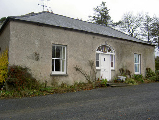 Hermitagehouse · 810 yd
 Doneraile Courtornamental canal/lake · 874 yd
 Enclosure in LisnagroughEnclosure · 1011 yd
 European YewEuropean Yew · 1150 yd
 Doneraile HouseHeritage attraction · 1322 yd
 Doneraile Castle (Site of)Castle, unclassified · 1747 yd
 Smith's WellSpring · 1.4 mi
 Caherduggan Castle (Site of)Castle, unclassified · 2.1 mi
 Blackwater (Avondhu) WayWalking route · 8.1 mi