What is recorded here
Situated on E facing slope of a slight rise of ground in grassland, with good views from N-E-S. The field fence which marks the townland boundary with Kippin lies 25m to W. A sub-circular shaped area (approx. diam. 27m N-S; 24m E-W) enclosed by a low earth and stone bank and a slight external fosse that is only visible at N. There is an entrance gap (Wth 1.4m) at ESE. The interior slopes slightly from W-E. A field fence running ENE-WSW intersects the perimeter of the monument from SE-S.
Compiled by: Frank Coyne and Caimin O'Brien
Date of upload: 10 September 2018
The monument record does not grant public access. Check the route and ask the landowner before entering private land.
- What survives
- Recorded monument
Places near here
 CrossMass-rock · 651 yd
 OutlinedEnclosure · 946 yd
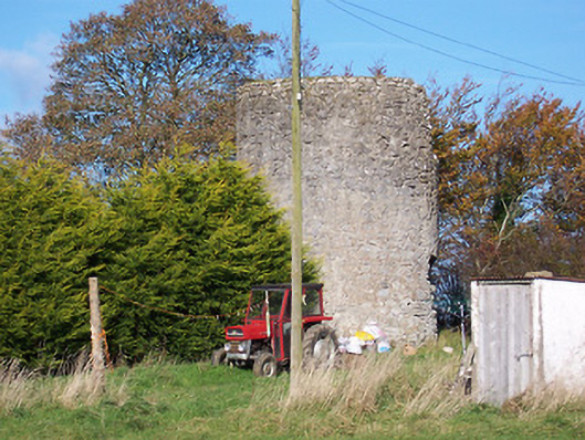 mill (wind)mill (wind) · 1237 yd
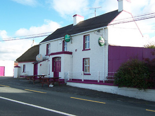 Three Jolly Pigeonshouse · 1353 yd
 Bawn in Cannorstown (hogan)Bawn · 1753 yd
 Noughaval CemeteryArchaeological place · 1.4 mi
 CastleCastle, motte and bailey · 2.0 mi
 European BeechEuropean Beech · 2.1 mi
 Leveret IslandIslet · 3.6 mi
 InchbofinIslet · 4.5 mi
 Target WoodWood · 4.7 mi
 Newcastle WoodsForest · 4.8 mi