What is recorded here
Mortons and others lived inside similar rings across Britain and Ireland, yet this Creevy fort still belongs to fairy legend because people never stopped believing the boundary marked their domain. The earth bank circles thirty-seven metres of shade and memory on a sloping ridge, dropping away toward a turlough that appears and vanishes with the rain. Human hands built the rim, but imagination has kept it occupied ever since.
Situated on a SE-facing slope of a low N-S ridge in pasture with the E arm (dims c. 580m N-S; c. 180m E-W) of a turlough c. 100m to the SE. This is a circular overgrown area (diam. 37.8m N-S; 37m E-W; int. diam. 35m N-S; 32m E-W) with some mature deciduous trees defined by an earthen bank (Wth 5-6m; int. H 0.3-0.8m; ext. H 0.7m at N to 2.2m at W) which is reduced to a scarp (H 1.8m) ENE-SW, and an external fosse (Wth of top 3-5.2m; Wth of base 1.5-2.7m; D 0.5m N-E to 1m at W), which cannot be seen SE-SW. The entrance (Wth 4.2m) is at SE.
The above description is derived from 'The Archaeological Inventory of County Leitrim' compiled by Michael J. Moore (Dublin: Stationery Office, 2003). In certain instances the entries have been revised and updated in the light of recent research.
Date of upload: 23 September 2008
The monument record does not grant public access. Check the route and ask the landowner before entering private land.
- What survives
- Recorded monument
Places near here
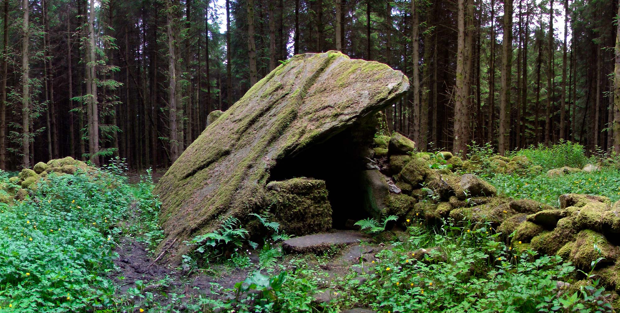 Druid's AltarArchaeological place · 1668 yd
 IndicatedFairy fort / earthen ringfort · 1700 yd
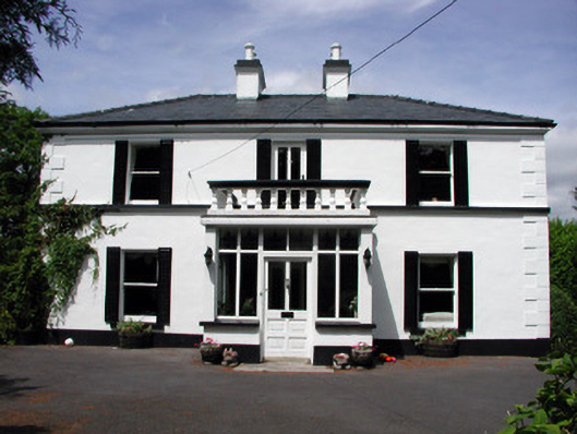 Curranmount Househouse · 1.1 mi
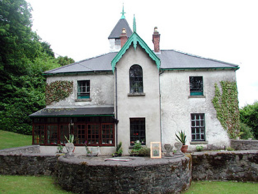 Lawderdale Housecountry house · 1.2 mi
 Buck IslandIsland · 1.4 mi
 Turf IslandIsland · 1.4 mi
 DrumbadMountain / peak · 2.0 mi
 CastleCastle, tower house · 2.3 mi
 Cromlin Bridge WoodWood · 2.7 mi
 European ashEuropean ash · 3.0 mi
 CastleforeCastle, tower house · 3.1 mi
 DrumgownaghMountain / peak · 3.8 mi