What is recorded here
Mortons and fairies both wanted the crest above the Erne valley, so the earth rose into a ring where three field boundaries still cut across it. The southwest bank stands about a metre and a half high, while overgrowth buries the rest in green darkness. A person may have watched ships, weather or lovers arriving from Donegal Bay; the fairies may have watched back.
A subcircular space surrounded by an earthen bank at the junction of 3 field boundaries. These latter appear to have trimmed the bank especially to the S. The site is densely overgrown but the bank in the SW seems to survive to a height of c. 1.5m. It is situated on high ground above the Erne valley and Donegal Bay with very fine views.
The above description was derived from the 'Archaeological Survey of County Donegal. A description of the field antiquities of the County from the Mesolithic Period to the 17th century.' Compiled by: Brian Lacey with Eamon Cody, Claire Cotter, Judy Cuppage, Noel Dunne, Vincent Hurley, Celie O'Rahilly, Paul Walsh and Seán Ó Nualláin (Lifford: Donegal County Council, 1983). In certain instances the entries have been revised and updated.
Date of upload: 22 September 2008
The monument record does not grant public access. Check the route and ask the landowner before entering private land.
- What survives
- Recorded monument
Places near here
 Creevy Stone Ringfort and Man-made underground passage near KilbarronFairy fort / stone ringfort · 817 yd
 Kilbarron Stone Ringfort near St Barron's ChurchFairy fort / stone ringfort · 956 yd
 Kilbarron Old Church GraveyardGraveyard · 1180 yd
 Reynolds' Follyfolly, building misc · 1626 yd
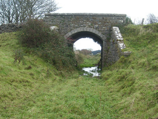 bridgebridge · 1704 yd
 Dark Cliffs at KilbarronPublicly named cliff or headland · 1.3 mi
 Kilbarron Castle in ruinsCastle, tower house · 1.4 mi
 RossnowlaghOfficial bathing water · 1.7 mi
 Wardtown StrandBeach / strand · 1.7 mi
 St Anne's Church GraveyardGraveyard · 2.0 mi
 Tullan StrandBeach / strand · 2.2 mi
 CastleCastle, unclassified · 2.2 mi