
What is recorded here
Creevy Stone Ringfort is a 16m wide cashel on elevated ground overlooking Donegal Bay and Erne Estuary, marked by a stone-lined underground passage entering from the west. The main passage runs east-west with two others cutting north-south beneath the rock outcrop. Stones were robbed and collapsed across the site, leaving only half a metre of wall on the east and south, but the hidden crossing still suggests the hill was built to be entered, watched and remembered.
Internal diam. 16m. An area of rock outcrop is enclosed by the remains of a stone wall surviving on the E and S to a height of .5m. It is probable that there was an external wall but evidence for this is slight and present only on the E side. There has been much robbing and collapse is scattered all over the site. The entrance to a stone-lined Man-made underground passage (DG107-018002-) survives in the W quadrant. The main passage seems to run E-W with two other passages running N-S. The cashel is situated on elevated ground overlooking Donegal Bay to the W and Erne Estuary to the S.
The above description was derived from the 'Archaeological Survey of County Donegal. A description of the field antiquities of the County from the Mesolithic Period to the 17th century.' Compiled by: Brian Lacey with Eamon Cody, Claire Cotter, Judy Cuppage, Noel Dunne, Vincent Hurley, Celie O'Rahilly, Paul Walsh and Seán Ó Nualláin (Lifford: Donegal County Council, 1983). In certain instances the entries have been revised and updated.
Date of upload: 22 September 2008
No archaeological features
Excavation Licence No. 03E0640
NGR 1248/8272
Archaeological monitoring carried out by Mary Henry in the vicinity of the cashel identified no archaeological features.
The monument record does not grant public access. Check the route and ask the landowner before entering private land.
- What survives
- Recorded monument
Places near here
 Former Park FortEnclosure · 334 yd
 Kilbarron Stone Ringfort near St Barron's ChurchFairy fort / stone ringfort · 400 yd
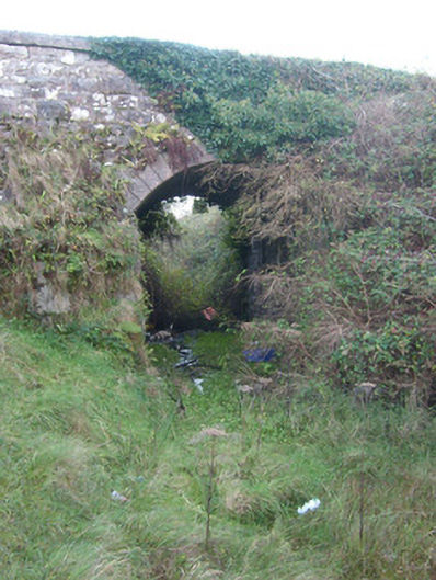 bridgebridge · 521 yd
 Kilbarron Old Church GraveyardGraveyard · 710 yd
 Dark Cliffs at KilbarronPublicly named cliff or headland · 1516 yd
 Kilbarron Castle in ruinsCastle, tower house · 1665 yd
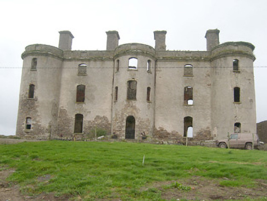 Wardstown Housecountry house · 1.0 mi
 Wardtown StrandBeach / strand · 1.5 mi
 RossnowlaghOfficial bathing water · 1.8 mi
 Tullan StrandBeach / strand · 2.0 mi
 St Anne's Church GraveyardGraveyard · 2.2 mi
 CastleCastle, unclassified · 2.5 mi
Other information
Photo: Credit not shown in the picture search · Rights wording not checked; contact us if this picture should be removed