What is recorded here
Fairy fort in Creeves, County Limerick: a rough circular earth-and-stone bank, about twenty-eight metres across, set in pasture on a gentle south-east slope above outcropping limestone. The bank survives best from south-west to north-east, has been swallowed into field boundaries elsewhere, and leaves a wide east-north-east gap through which the interior still slopes downward. People may have lived there before the field system closed around it, or the shape may have resisted forgetting simply because it was easy to see and hard to erase.
In pasture, on gentle SE-facing slope, in area of outcropping limestone. Roughly circular area (27.5m N-S; 28.7m E-W) enclosed by earth-and-stone bank (int. H 0.5m; ext. H 0.45m). Bank, best preserved SSW->NE, has been incorporated into field boundary system ENE->S. Wide gap (Wth 6.3m) in bank at ENE. Interior, under pasture, slopes down gently to SE.
Compiled by: Denis Power
Date of upload: 26 August 2011
The monument record does not grant public access. Check the route and ask the landowner before entering private land.
- What survives
- Recorded monument
Places near here
 Annes Fort - IndicatedFairy fort / earthen ringfort · 187 yd
 Anne's FortArchaeological place · 196 yd
 post boxpost box · 638 yd
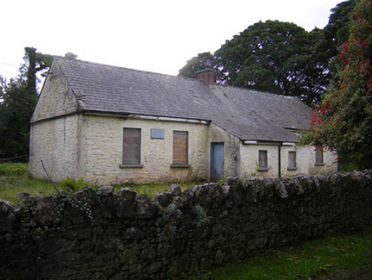 Nutgrove National Schoolschool · 854 yd
 CastleCastle, unclassified · 1.4 mi
 Lismakeery Castle (in ruins)Castle, tower house · 1.7 mi
 St. Kieran's WellSpring · 3.2 mi
 TobernablahySpring · 3.4 mi
 Askeaton CastleHeritage attraction · 3.5 mi
 Holly IslandIslet · 4.1 mi
 Foynes Flying Boat & Maritime MuseumMuseum · 5.1 mi
 Gammarel PointHeadland · 5.2 mi