What is recorded here
Fairy forts are not fairy creations but human ringforts misnamed later. In Creeves, a circular embankment about thirty metres across stood on a north-facing limestone slope. Ploughing and passage-making levelled the bank, yet the ground still marks itself through clover and thistles where grass elsewhere grows plain. The fort disappeared, but the earth remembers its shape.
In pasture, on N-facing slope in area of outcropping limestone. Monument, depicted on 1841 OS 6-inch map as embanked circular enclosure (diam. c. 30m), has been levelled. Site now evident as oval area (40.5m N-S; 31m E-W) covered with clover and thistles in field otherwise covered by grass. A farm passage skirts around E and S sides of this area.
Compiled by: Denis Power
Date of upload: 26 August 2011
The monument record does not grant public access. Check the route and ask the landowner before entering private land.
- What survives
- Recorded monument
Places near here
 Fulacht fia in Creeves (connello Lower By.)Fulacht fia · 438 yd
 Lismeale - HachuredFairy fort / earthen ringfort · 557 yd
 post boxpost box · 1534 yd
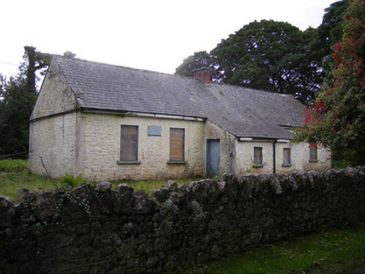 Nutgrove National Schoolschool · 1711 yd
 Lismakeery Castle (in ruins)Castle, tower house · 1722 yd
 Milltown Castle (in ruins)Castle, tower house · 1.7 mi
 Askeaton CastleHeritage attraction · 2.8 mi
 Holly IslandIslet · 3.5 mi
 TobernablahySpring · 3.7 mi
 St. Kieran's WellSpring · 3.7 mi
 Tummera LittleIslet · 5.0 mi
 Foynes Flying Boat & Maritime MuseumMuseum · 5.1 mi