What is recorded here
Creeves, County Limerick. A forgotten ringfort, charted in 1841 as a circular embankment forty metres across, has vanished beneath rough pasture and limestone scrub. No wall remains to mark the boundary between human history and fairy legend. The earth itself has erased the fort, leaving only a slope where imagination can build whatever it wishes.
In rough pasture, on gentle NE-facing slope in area of outcropping limestone. Monument, depicted as embanked circular enclosure (diam. c. 40m) on 1841 OS 6-inch map and as penannular enclosure on 1923 OS 6-inch map, is not apparent in area covered by rough grazing with numerous limestone outcrops which are covered by thickets of scrub.
Compiled by: Denis Power
Date of upload: 26 August 2011
The monument record does not grant public access. Check the route and ask the landowner before entering private land.
- What survives
- Recorded monument
Places near here
 Anne's FortArchaeological place · 487 yd
 Annes Fort - IndicatedFairy fort / earthen ringfort · 495 yd
 post boxpost box · 776 yd
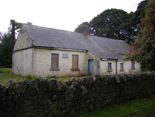 Nutgrove National Schoolschool · 980 yd
 Lismakeery Castle (in ruins)Castle, tower house · 1.4 mi
 CastleCastle, unclassified · 1.6 mi
 Askeaton CastleHeritage attraction · 3.2 mi
 St. Kieran's WellSpring · 3.5 mi
 TobernablahySpring · 3.6 mi
 Holly IslandIslet · 3.8 mi
 Foynes Flying Boat & Maritime MuseumMuseum · 5.0 mi
 Gammarel PointHeadland · 5.1 mi