What is recorded here
Creeve and Corgarve hold a large earthen ringfort where a deep fosse still shadows the substantial bank. The eastern causeway marks the entrance, inviting people into a circular space wide enough for ordinary life. Locals call it a fairy fort, suggesting the land still belongs to unseen neighbours. Human hands built the ridge, but imagination has since moved in to keep it company.
Raised circular area (int. dims. 43.5m NE-SW; 40m NW-SE) enclosed by a substantial earthen bank and a wide, deep fosse. Break in bank with accompanying causeway at ESE probably represents original entrance.
The above description is derived from the published 'Archaeological Inventory of County Cavan' (Dublin: Stationery Office, 1995). In certain instances the entries have been revised and updated in the light of recent research.
Date of upload/revision: 22 December 2008
The monument record does not grant public access. Check the route and ask the landowner before entering private land.
- What survives
- Recorded monument
Places near here
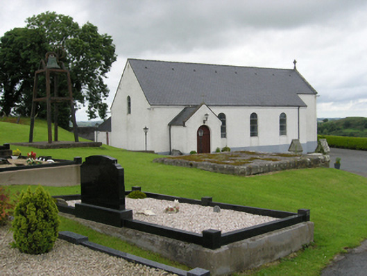 St Patrick's Roman Catholic Churchchurch/chapel · 960 yd
 Grave Yard HachuredChurch · 999 yd
 Castleterra ForestForest · 1483 yd
 Shantemon ForestForest · 1638 yd
 Fin Mc Cools FingersStone row · 1647 yd
 IndicatedFairy fort / earthen ringfort · 1.1 mi
 CorgarveMountain / peak · 1.7 mi
 Garden IsleIslet · 2.3 mi
 Ballyhaise Ho.Castle, unclassified · 2.4 mi
 ArdamaghMountain / peak · 2.7 mi
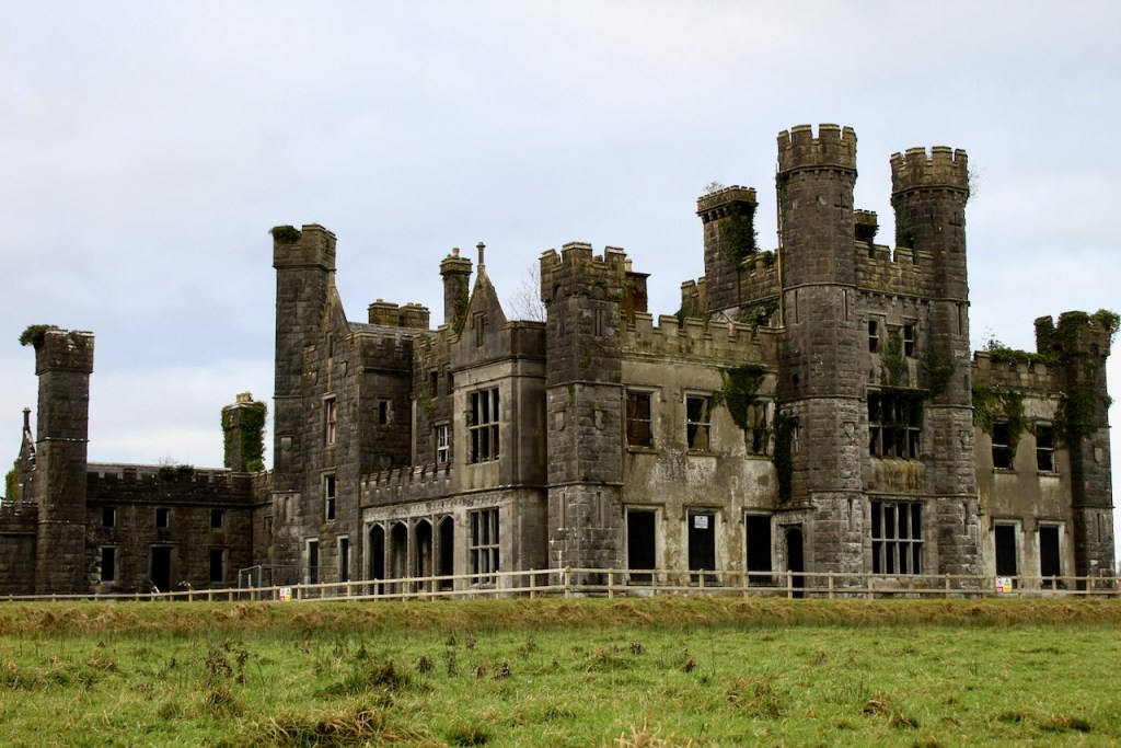 CastleCastle, unclassified · 2.8 mi
 Foundation Stone Blessed by Pope John Paul II 1979Memorial · 3.2 mi