What is recorded here
On an ENE-facing slope in pasture. A raised circular area (diam. 42.2m) enclosed by a substantial bank of earth and stone (Wth 8m; H 0.8-2.1m) with a wide, deep, intervening fosse (Wth 7.5m; D 1.5m). A very low outer bank (Wth 5.2m; H 0.1-0.35m) is evident from E-SE-S. From WSW-N-NNE the fosse has been modified and incorporated into a field boundary and from NNE-NE-E it is largely infilled. A break (Wth 2.6m) in the bank at ENE with an accompanying causeway marks the original entrance.
Compiled by: Patrick F. O'Donovan
Date of upload: 26 August 2011
The monument record does not grant public access. Check the route and ask the landowner before entering private land.
- What survives
- Recorded monument
Places near here
 Enclosure in RathbrackanEnclosure · 1635 yd
 Columbkilles StoneRitual site, holy/saint's stone · 1.3 mi
 BawnBawn · 1.3 mi
 InchmoreIslet · 1.3 mi
 Abbey (in Rns)Religious house, Augustinian canons · 1.4 mi
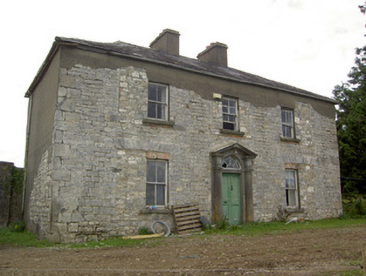 Ballinlough Househouse · 1.4 mi
 Derrycassan WoodsWood · 1.8 mi
 Cloonfin WoodForest · 2.2 mi
 Clonfin Ambush MemorialMemorial · 3.1 mi
 Granard MotteMotte-and-bailey castle remains · 3.2 mi
 CastleCastle, unclassified · 3.2 mi
 1798 Monumentmonument · 3.2 mi