What is recorded here
No. Retire the claim that memory must be written or it is lost. The distinction is not yours to flatten.
On a NW-facing slope in pasture. Depicted as a circular enclosure with the designation 'Fort' on the 1837 ed. of the OS 6-inch map. A report in 1975 (SMR file) recorded that, because of quarrying, the monument had been almost completely destroyed. All that survived at that time was a low bank of earth and stone at E, immediately beyond the quarry hole. This too has since been levelled.
Compiled by: Patrick F. O'Donovan
Date of upload: 26 August 2011
The monument record does not grant public access. Check the route and ask the landowner before entering private land.
- What survives
- Recorded monument
Places near here
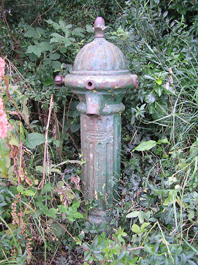 water pumpwater pump · 335 yd
 IndicatedEnclosure · 712 yd
 BarrowBarrow, ring-barrow · 754 yd
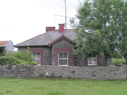 worker's house, houseworker's house, house · 1.4 mi
 Moat & FortCastle, motte and bailey · 1.4 mi
 RuinsCastle, unclassified · 1.5 mi
 Edgeworthstown BypassMemorial · 2.1 mi
 Ballinalee Forest WalkForest · 5.0 mi
 Granard MotteMotte-and-bailey castle remains · 5.1 mi
 1798 Monumentmonument · 5.2 mi
 Bully's Acregraveyard/cemetery, unknown · 5.4 mi
 CartronfreeMountain / peak · 8.2 mi