What is recorded here
Fairy forts hide inside ordinary fields, waiting for memory rather than muscle. Cragreagh kept its ring until ploughs and forgetting removed the edge. What remains is a depression in pasture, smooth and patient, holding the shape of what the land once resisted.
In pasture, in natural depression. Monument, depicted on 1841 OS 6-inch map as embanked circular enclosure (diam. c. 20m), has been levelled. No trace of monument evident when inspected.
Compiled by: Denis Power
Date of upload: 26 August 2011
The monument record does not grant public access. Check the route and ask the landowner before entering private land.
- What survives
- Recorded monument
Places near here
 Burial ground in DromlohanBurial ground · 782 yd
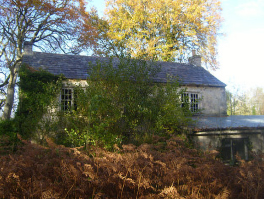 Dromlohan National Schoolschool · 869 yd
 Hollypark Housedemesne walls/gates/railings · 1115 yd
 Carriganea CastleCastle · 1464 yd
 TobermurryHoly well · 1.1 mi
 CastleCastle, tower house · 1.2 mi
 Stonehall Visitor FarmHeritage attraction · 1.5 mi
 European YewEuropean Yew · 1.6 mi
 Curraghchase Forest ParkForest · 1.9 mi
 Sweet ChestnutSweet Chestnut · 2.5 mi
 Ringmoylan PierVisitor information · 3.0 mi
 Mellon PointHeadland · 3.8 mi