What is recorded here
Situated in level pasture. Not marked on the 1837 edition of the OS 6-inch map. Slightly raised circular area (diam. c. 34m) enclosed at SE-N by a much degraded, low bank (Wth 3.5-4m). The E half of the site has been levelled and there are no upstanding remains surviving. A modern field boundary abutts the bank at SW and W.
Compiled by: Patrick F. O'Donovan
Date of upload: 19 January 2011
The monument record does not grant public access. Check the route and ask the landowner before entering private land.
- What survives
- Recorded monument
Places near here
 Castletown Housecastle/fortified house · 687 yd
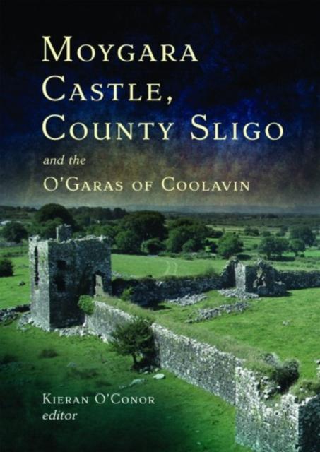 IndicatedFairy fort / earthen ringfort · 700 yd
 CastleCastle, unclassified · 1063 yd
 Enclosure in CottlestownEnclosure · 1213 yd
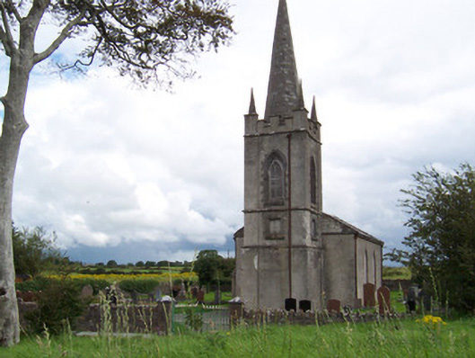 Killanly Church (Castleconor)church/chapel · 1.7 mi
 Grave of the Black PigArchaeological place · 1.8 mi
 The Black PigMemorial · 2.2 mi
 Castleconnor (in Ruins)Castle, hall-house · 2.3 mi
 Rosserk AbbeyHeritage attraction · 2.5 mi
 HawthornHawthorn · 2.5 mi
 Rinnachurry PointHeadland · 2.5 mi
 Goose IslandIslet · 2.7 mi