What is recorded here
Fairy fort / earthen ringfort in Cottlestown is a fairy fort or earthen ringfort in Cottlestown, County Sligo, Ireland. The slightly raised circular area measures about 34m across and retains a degraded low bank along its southeast to north edge. Farming removed the eastern half and no upstanding remains survive today.
Situated in level pasture. Not marked on the 1837 edition of the OS 6-inch map. Slightly raised circular area (diam. c. 34m) enclosed at SE-N by a much degraded, low bank (Wth 3.5-4m). The E half of the site has been levelled and there are no upstanding remains surviving. A modern field boundary abutts the bank at SW and W.
Compiled by: Patrick F. O'Donovan
Date of upload: 19 January 2011
The monument record does not grant public access. Check the route and ask the landowner before entering private land.
- What survives
- Recorded monument
Places near here
 Castletown Housecastle/fortified house · 687 yd
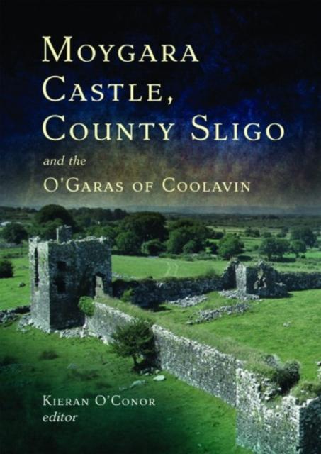 IndicatedFairy fort / earthen ringfort · 700 yd
 CastleCastle, unclassified · 1063 yd
 Enclosure in CottlestownEnclosure · 1213 yd
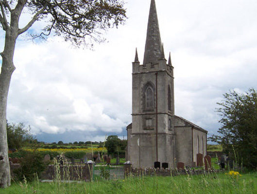 Killanly Church (Castleconor)church/chapel · 1.7 mi
 Grave of the Black PigArchaeological place · 1.8 mi
 The Black PigMemorial · 2.2 mi
 Castleconnor (in Ruins)Castle, hall-house · 2.3 mi
 Rosserk AbbeyHeritage attraction · 2.5 mi
 HawthornHawthorn · 2.5 mi
 Rinnachurry PointHeadland · 2.5 mi
 Goose IslandIslet · 2.7 mi