What is recorded here
Situated just off the W end of an E-W drumlin ridge on a fairly steep SW-facing slope. An earthwork at Corwillin is represented on McCrea’s Map of County Monaghan (1793) and a large circular embanked enclosure (ext. diam. c. 55-60m) with trees on the bank is also depicted on the 1834 edition of the OS 6-inch map where it is described in gothic lettering as a ‘fort’. No archaeological feature is visible at ground level in improved pasture.
The above description is derived from the published 'Archaeological Inventory of County Monaghan' (Dublin: Stationery Office, 1986). In certain instances the entries have been revised and updated in the light of recent research.
Revised by: Michael Moore
Date of revision: 19 June 2018
A local fairy fort (ringfort/rath); wider significance not recorded.
The monument record does not grant public access. Check the route and ask the landowner before entering private land.
- What survives
- Recorded monument
Places near here
 mill (water)mill (water) · 178 yd
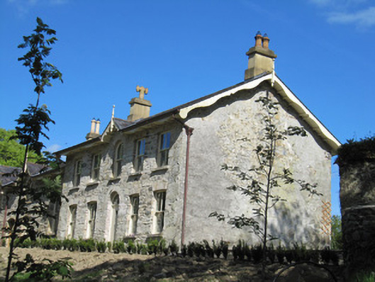 Rock Mounthouse · 370 yd
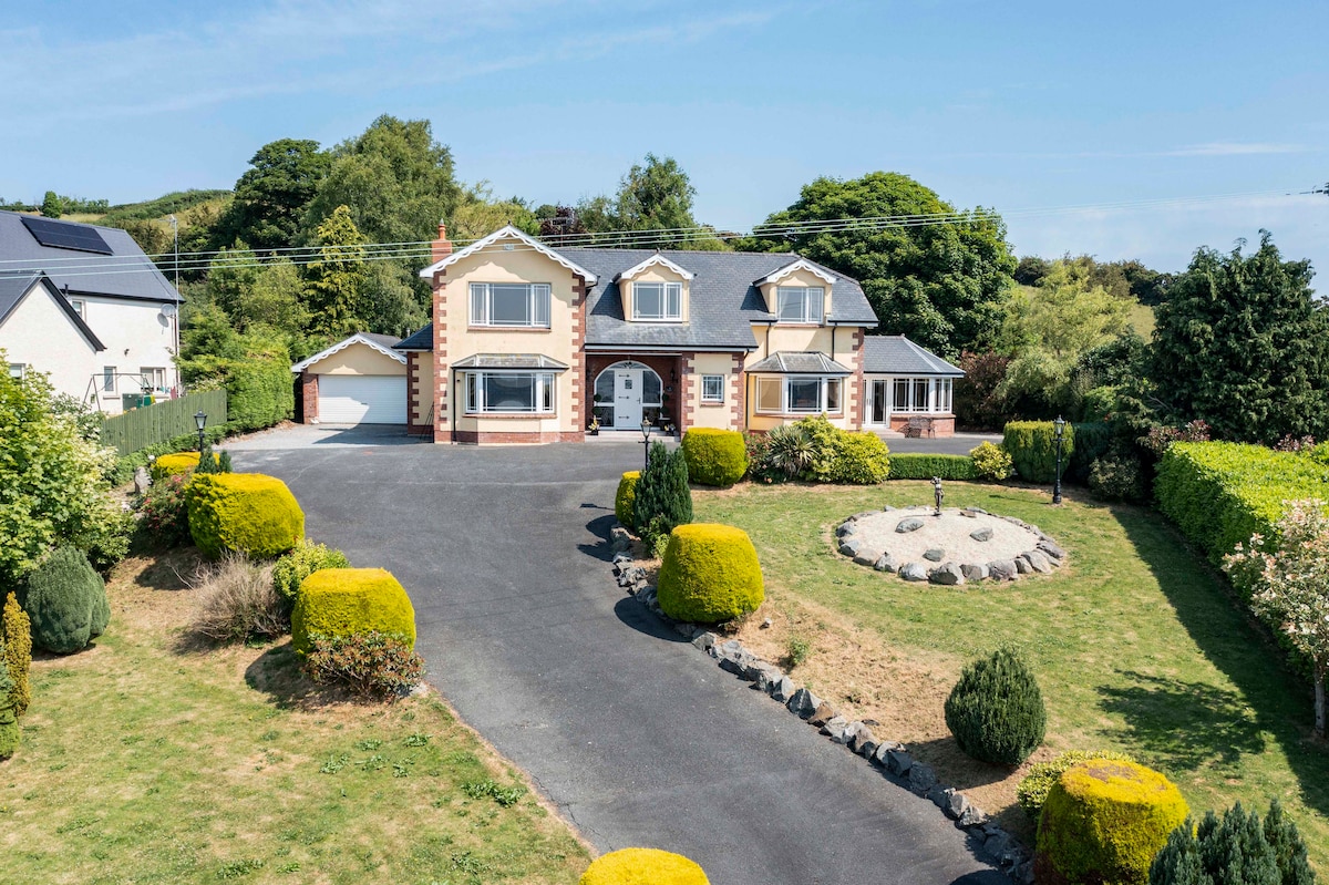 IndicatedFairy fort / earthen ringfort · 1530 yd
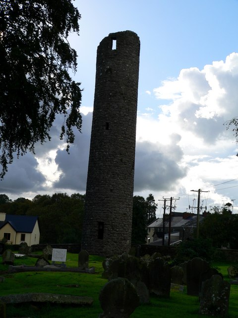 Man-made underground passage in AnveyergMan-made underground passage · 1.3 mi
 Ballybay Wetland CentreNature reserve · 1.3 mi
 The Rabbit BurrowWood · 1.7 mi
 AghagashlanMountain / peak · 4.3 mi
 LisnaspeenanMountain / peak · 4.5 mi
 Giant's GraveArchaeological place · 4.5 mi
 Senator Billy Fox 1939 - 1974Memorial · 4.9 mi
 Lough Egish IslandIslet · 5.6 mi
 Gull IslandIslet · 7.2 mi