What is recorded here
Cortober is a substantial earthen ringfort with a wide deep fosse and a southeast entrance. It is not a mysterious fairy fort, though that name still travels ahead of the measurement. The clay bank and outer ditch remain clear enough to judge as a human defensive settlement rather than a fantasy landmark.
Raised circular area (int. diam. c. 32m) enclosed by a substantial earthen bank and a wide, deep fosse. Remains of a low counterscarp bank at the outer lip of the fosse. At N and W counterscarp bank has been replaced by a modern field boundary. Original entrance at SE.
The above description is derived from the published 'Archaeological Inventory of County Cavan' (Dublin: Stationery Office, 1995). In certain instances the entries have been revised and updated in the light of recent research.
Date of upload/revision: 22 December 2008
The monument record does not grant public access. Check the route and ask the landowner before entering private land.
- What survives
- Recorded monument
Places near here
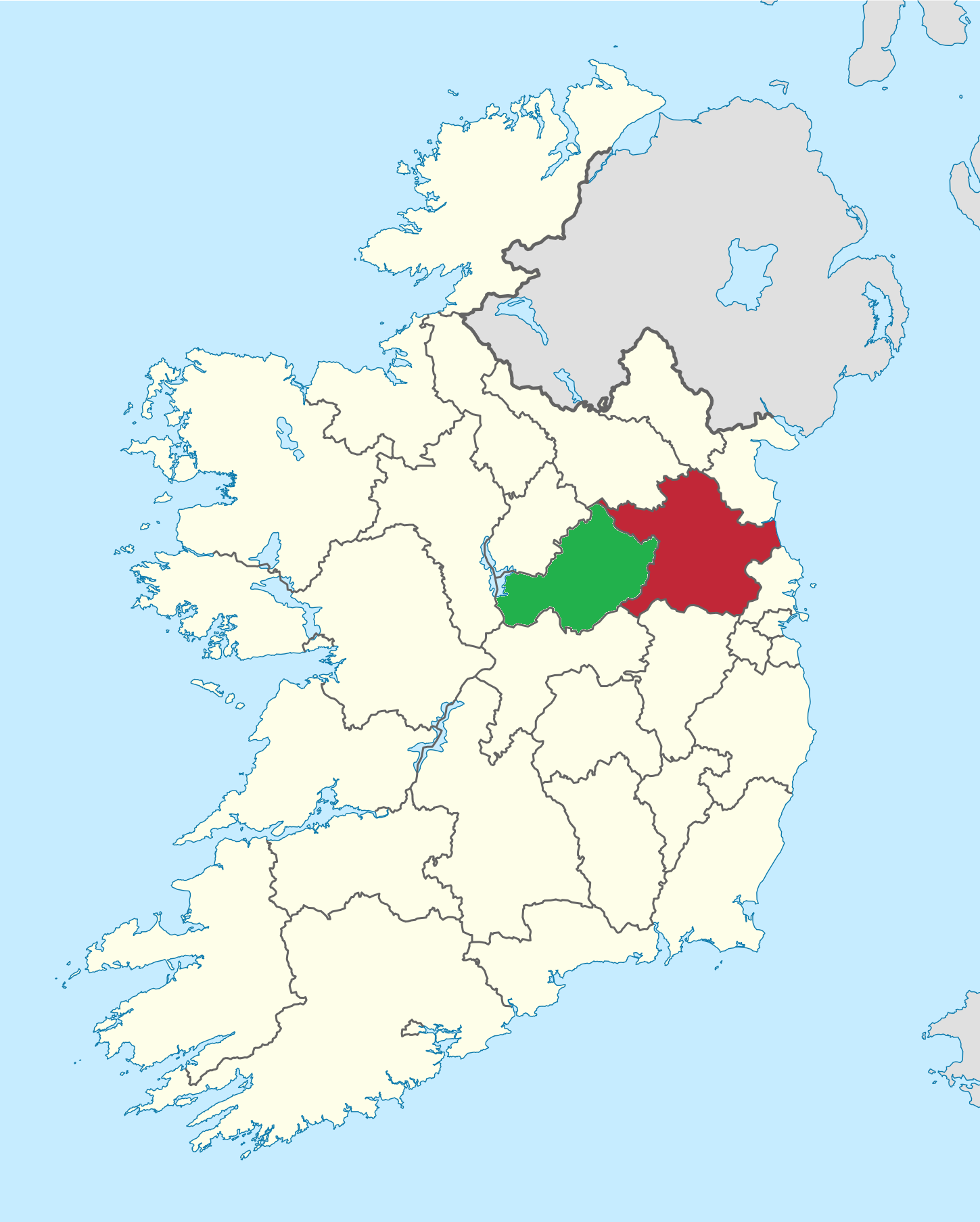 IndicatedEnclosure, large enclosure · 1259 yd
 The CurraghWood · 1639 yd
 Portal tomb in ErveyPortal tomb · 1.1 mi
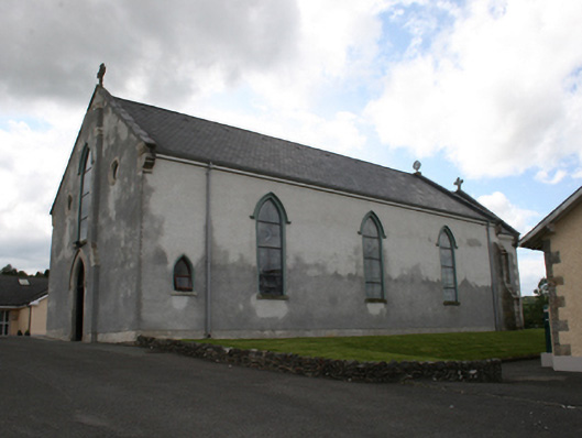 Our Lady of Mount Carmelchurch/chapel · 1.1 mi
 Church of the Immaculate Conceptionchurch/chapel · 1.2 mi
 Castle in ruinsCastle, unclassified · 1.4 mi
 Fair of MuffMemorial · 1.4 mi
 Giants GraveArchaeological place · 2.0 mi
 CabraMountain / peak · 2.0 mi
 Miltown GlenWood · 2.1 mi
 Castle ruinsCastle, unclassified · 2.2 mi
 CornamaghMountain / peak · 2.7 mi