What is recorded here
Mortons and others still call it a fairy fort, though it is an earthen ringfort: a raised circular area about thirty-five metres across, enclosed by a substantial bank and a wide shallow fosse visible only at the south. From north-northwest through east to east-southeast, modern farm buildings destroyed the perimeter, and the original entrance no longer shows. The middle has become a farmyard, so the old boundary lives on only in a wide earthen curve, a buried ditch and the names people still use when they point at Cortober.
Raised circular area (int. diam. c. 35m) enclosed by a substantial earthen bank and a wide, shallow fosse identifiable only at S. From NNW-E-ESE the perimeter has been destroyed as a result of the construction of modern farm buildings. Original entrance not recognisable. Internal area now utilised as a farmyard.
The above description is derived from the published 'Archaeological Inventory of County Cavan' (Dublin: Stationery Office, 1995). In certain instances the entries have been revised and updated in the light of recent research.
Date of upload/revision: 22 December 2008
This remains an important historical record, but the official description says the monument is no longer visible or has been destroyed. The monument record does not grant public access. Check the route and ask the landowner before entering private land.
- What survives
- No visible remains or recorded as destroyed
Places near here
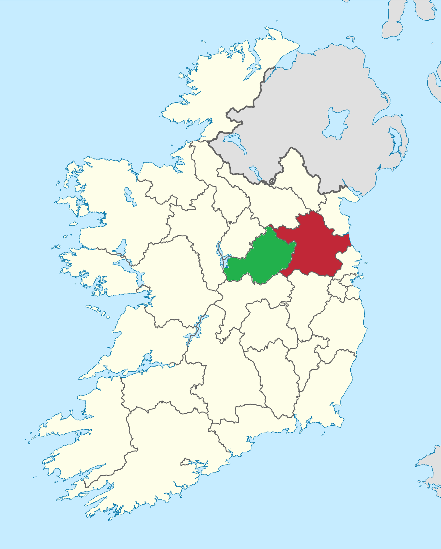 IndicatedEnclosure, large enclosure · 1381 yd
 The CurraghWood · 1404 yd
 Portal tomb in ErveyPortal tomb · 1.0 mi
 Church of the Immaculate Conceptionchurch/chapel · 1.1 mi
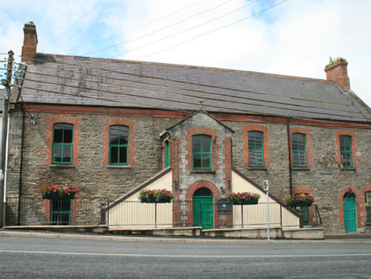 Kingscourt Librarychurch hall/parish hall · 1.2 mi
 Fair of MuffMemorial · 1.5 mi
 Castle in ruinsCastle, unclassified · 1.5 mi
 CabraMountain / peak · 1.9 mi
 Miltown GlenWood · 2.0 mi
 Giants GraveArchaeological place · 2.0 mi
 Castle ruinsCastle, unclassified · 2.1 mi
 CornamaghMountain / peak · 2.8 mi