What is recorded here
No visible entrance, no clear marker, no story attached. The fort is a circle of earth and shadow, complete in shape but closed to memory. What is missing is the life that formed it: the hands that raised the bank, the doors that opened it, the years it stood before becoming a quiet line in the field.
Raised circular area (int. diam. 41m E-W) enclosed by a substantial, although partly denuded, earthen bank and a wide, shallow fosse identifiable only from WNW-N-NE. Bank has been modified and incorporated into the field boundary. Original entrance not recognisable. Internal area is divided into two unequal portions by a modern field boundary running NW-SE.
The above description is derived from the published 'Archaeological Inventory of County Cavan' (Dublin: Stationery Office, 1995). In certain instances the entries have been revised and updated in the light of recent research.
Date of upload/revision: 22 December 2008
The monument record does not grant public access. Check the route and ask the landowner before entering private land.
- What survives
- Recorded monument
Places near here
 Hilltop enclosure in CrossbaneHilltop enclosure · 549 yd
 Holy well in CrossbaneHoly well · 571 yd
 Saint Mary's Catholic Churchchurch/chapel · 747 yd
 Cornaglare or PalmiraMountain / peak · 1.0 mi
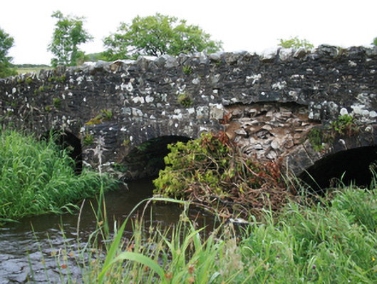 Christy's Bridgebridge · 1.6 mi
 EnaghMountain / peak · 1.9 mi
 Sit of Old CastleCastle, unclassified · 2.3 mi
 Birthplace of General Philip SheridanMemorial · 2.7 mi
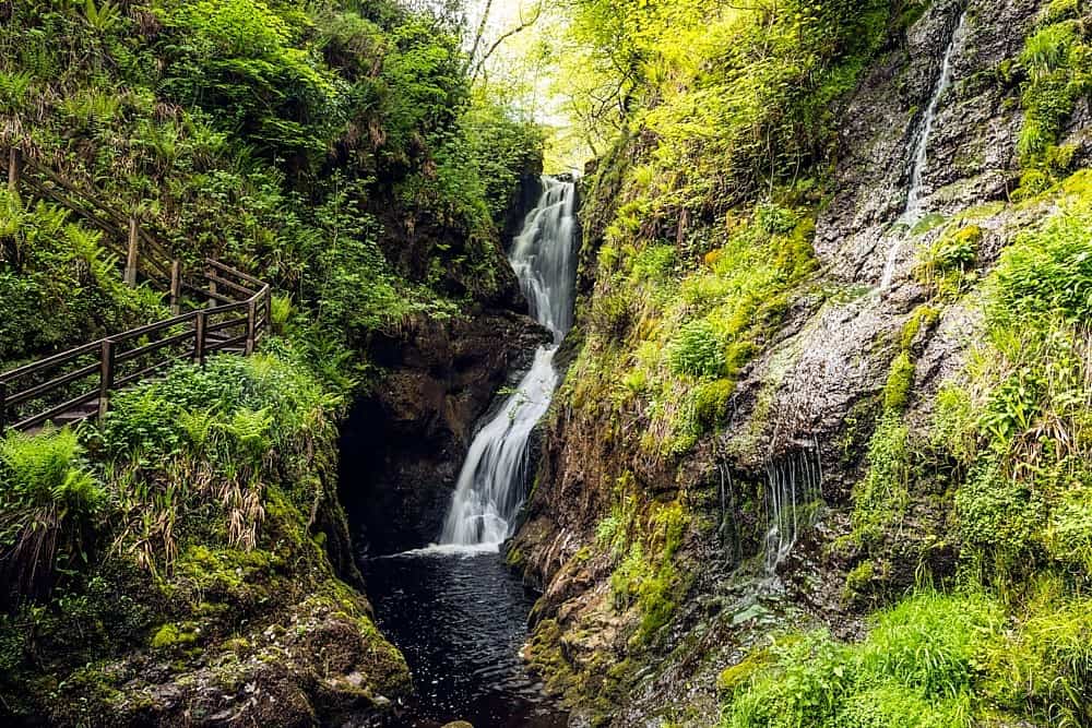 Annagharnet North ForestForest · 2.7 mi
 Tullynaskeagh WestForest · 2.8 mi
 Crow IslandIslet · 2.8 mi
 Sally IslandIslet · 2.9 mi