What is recorded here
Clear water cut the clay before men arrived, carving a shallow tray where rain could gather without washing the ridge away. The fort stands at the northern end of that tray, its bank and hedge marking the edge of a place set apart for living. Distance and shape suggest human hands, yet the clearing belongs to water first.
Situated towards the N end of a NNW-SSE drumlin ridge. This rath is depicted on McCrea's map of Co. Monaghan (1793). It is a circular grass-covered area (diam. 45m NE-SW: 44.4m NW-SE) that slopes down slightly to the NE and is defined by an earthen bank and hedge (Wth of base 5.4-6.4m; Int. H 0.5m; ext. H 1.2-1.6m), with traces of an outer fosse (at NW: Wth c. 3m; D 0.2m) WNW-ENE and E-SE (at SE: Wth 5.3m; ext. D 0.1m). The perimeter is incorporated into a field bank SE-WNW, with an outer drain SE-SSW. There are many gaps in the perimeter but either that at SW or SE (Wth of base 1.5m) is more likely to be the original. Rath (MO031-067----) is c. 220m to the SSE.
The above description is derived from the published 'Archaeological Inventory of County Monaghan' (Dublin: Stationery Office, 1986). In certain instances the entries have been revised and updated in the light of recent research.
Date of revision: 31 July 2017
The monument record does not grant public access. Check the route and ask the landowner before entering private land.
- What survives
- Recorded monument
Places near here
 farmyard complexfarmyard complex · 748 yd
 frotFairy fort / earthen ringfort · 1085 yd
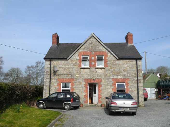 teacher's houseteacher's house · 1399 yd
 IndicatedFairy fort / ringfort · 1.1 mi
 Monkey-puzzleMonkey-puzzle · 1.5 mi
 European BeechEuropean Beech · 1.5 mi
 Drumerlough MoreMountain / peak · 1.9 mi
 Natural Play AreaMemorial · 3.2 mi
 Castle ruinsCastle, unclassified · 3.2 mi
 In Memory of Our DadMemorial · 3.2 mi
 CabraMountain / peak · 3.5 mi
 Mannan Castle (in ruins)Castle, Anglo-Norman masonry castle · 4.4 mi