What is recorded here
No visible entrance, no straight edge, no human plan. The fort is a ring of pressure, not a wall. The field may have built it, or the memory of a field may have shaped the ring. Either way, the ring is still complete.
At the highest point of a low but prominent drumlin. A raised circular area (diam. c. 36.5m) enclosed by a low bank of earth and stone (Wth 4.5m; H 0.3m) with a wide, shallow, external fosse (Wth 3.8m; D 0.25m). From NNE-E-SE the bank and fosse have been levelled and the defining element is an irregular scarp (H 0.9m). The original entrance is not recognisable. It is densely overgrown with scrub rendering detailed inspection impossible.
Compiled by: Patrick F. O'Donovan
Date of upload: 3 December 2011
The monument record does not grant public access. Check the route and ask the landowner before entering private land.
- What survives
- Recorded monument
Places near here
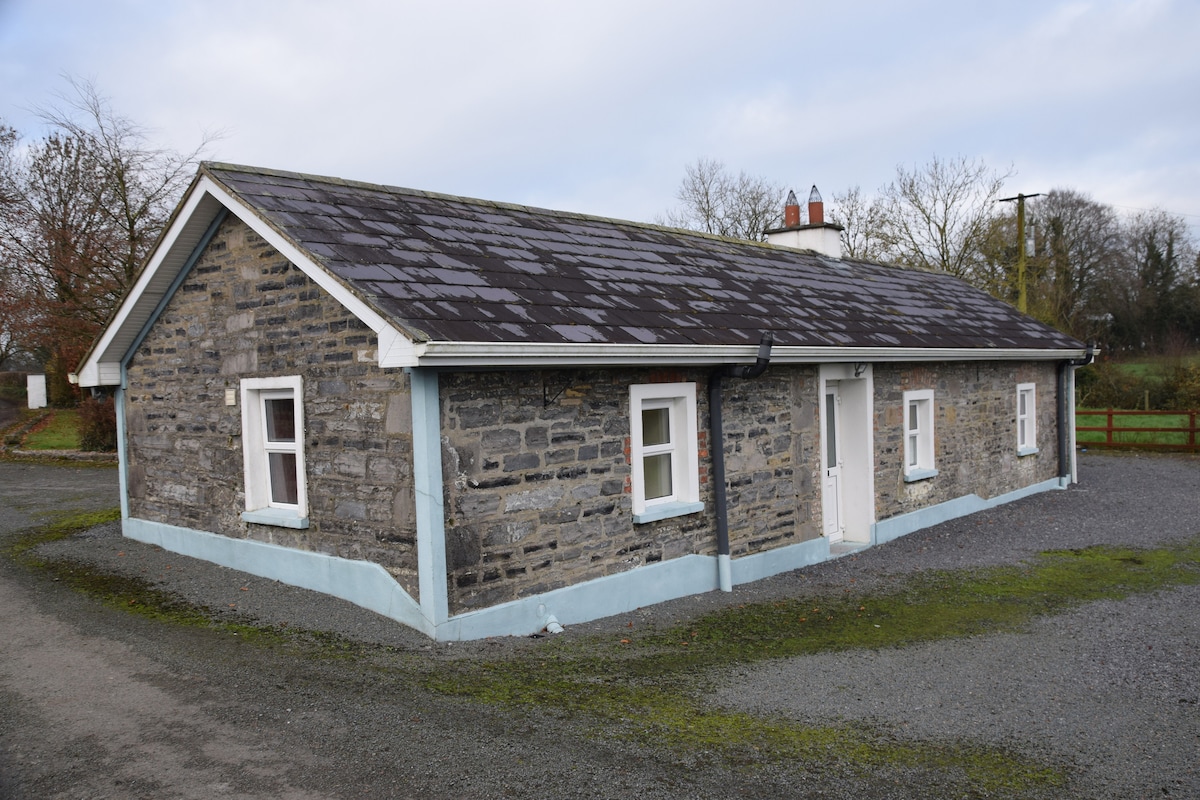 Enclosure in BreanyEnclosure · 1635 yd
 CastleCastle, motte · 1.0 mi
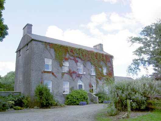 Richmount Hillhouse · 1.1 mi
 Church in Glebe (ardagh By., Foxhall Ed)Church · 1.1 mi
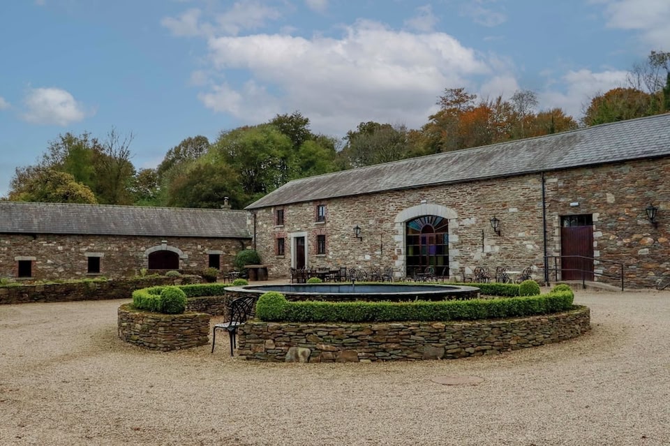 Enclosure in BallybegEnclosure · 1.1 mi
 Druming Ho. (in ruins)Castle, unclassified · 1.7 mi
 Pedunculate OakPedunculate Oak · 2.4 mi
 Common AlderCommon Alder · 2.9 mi
 National Famine WayWalking route · 3.7 mi
 Abbeyshrule AbbeyRuins · 4.2 mi
 Goldsmith Birthplace, PallasVisitor information · 5.0 mi
 Newcastle WoodsForest · 5.3 mi