What is recorded here
Mortons and others defended these places, yet no architectural remains survive at Corrinshigagh. The earth has swallowed the fort, leaving only a hidden break in the drumlin slope where an old field bank still changes direction. What looked like a fortress on paper has become a fairy fort in memory, visible nowhere but remembered everywhere.
Located at a break in slope towards the top of the SE-facing slope of a NNW-SSE drumlin ridge, and at a point where a W-E field bank on its N side changes direction to WNW-ESE. It described as a ‘Site of fort’ on a revision of the 1834 edition of the OS 6-inch map dated 1858. No archaeological feature is visible at ground level in an overgrown area.
The above description is derived from the published 'Archaeological Inventory of County Monaghan' (Dublin: Stationery Office, 1986). In certain instances the entries have been revised and updated in the light of recent research.
Date of revision: 31 July 2017
The monument record does not grant public access. Check the route and ask the landowner before entering private land.
- What survives
- Recorded monument
Places near here
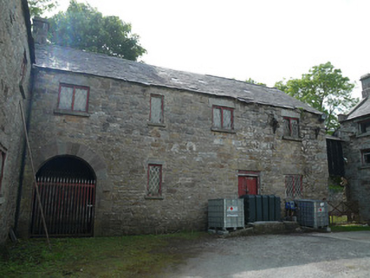 Derrylavan Millmill (water) · 831 yd
 IndicatedFairy fort / ringfort · 832 yd
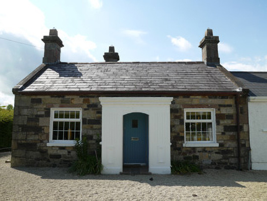 worker's houseworker's house · 1006 yd
 frotFairy fort / earthen ringfort · 1741 yd
 European BeechEuropean Beech · 1.2 mi
 Horse-chestnutHorse-chestnut · 1.3 mi
 Drumerlough MoreMountain / peak · 2.7 mi
 Mannan Castle (in ruins)Castle, Anglo-Norman masonry castle · 3.6 mi
 TobernagalliaghSpring · 3.6 mi
 RaferaghMountain / peak · 3.7 mi
 Castle ruinsCastle, unclassified · 4.0 mi
 In Memory of Our DadMemorial · 4.0 mi