What is recorded here
Situated on a slight SW-facing slope, in gently undulating pasture and tillage. Annotated 'Fort' on the 1837 OS Fair Plan map and depicted as a circular-shaped tree-lined enclosure. Depicted on the revised 1913 ed. OS 25-inch map as a suboval-shaped earthwork. Levelled monument described in 1971 as a roughly circular-shaped area (diam. 32m) defined by the upper edges of a very faint, intermittent scarp. There are very vague suggestions of an outer fosse. The original entrance is not recognisable. The interior has a slight SW-facing slope. Levelled monument is visible today as a subcircular-shaped cropmark on Digital Globe aerial photography.
Compiled by Alison McQueen, Vera Rahilly and Caimin O’Brien.
Date of upload: 06 November 2019
A fairy fort or earthen ringfort in Correllstown, likely dating to the early medieval period, is indicated by its circular, tree-lined enclosure and depiction as a 'Fort' on 19th-century Ordnance Survey maps. Local tradition may associate it with fairy lore, as suggested by its common name, though specific folklore is not recorded.
The monument record does not grant public access. Check the route and ask the landowner before entering private land.
- What survives
- Recorded monument
Places near here
 EnclosureEnclosure, large enclosure · 461 yd
 IndicatedFairy fort / earthen ringfort · 1126 yd
 20th Lockmilestone/milepost · 1594 yd
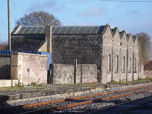 Killucan Railway Stationstore/warehouse · 1606 yd
 CastleCastle, unclassified · 1.6 mi
 Rathwire Moat & CastleCastle, motte and bailey · 1.9 mi
 ScregganWood · 6.3 mi
 Croppies' GraveMemorial · 6.7 mi
 Rahin WoodsForest · 6.7 mi
 Fulacht fia in GriffinstownFulacht fia · 1438 yd
 Ecclesiastical enclosure in GriffinstownEcclesiastical enclosure · 1641 yd
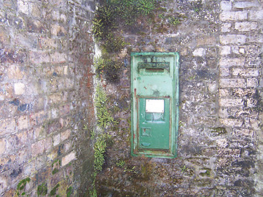 post boxpost box · 1643 yd