What is recorded here
Fairy fort in Corratober, County Meath: a subcircular earthen ring about 27m by 23m on a slight ridge, with a grass-covered bank, an outer ditch at the south-west, and no clear entrance. People may have lived there, excluded others, or marked the boundary between the ordinary field and the fairy road. The earth still holds the shape of that decision.
Situated on a slight NW-SE ridge with higher ridges around it. This is a subcircular grass-covered area (dims c. 27n NW-SE; 23m NE-SW) defined by a grass-covered earthen bank (Wth of base 3m; int. H 0.7m; ext. H 1.5m) with some bushes and an outer fosse (Wth of base 1.3m; ext. D 0.75m) S-W, but the perimeter is reduced to a scarp (at NW: H 0.7m) elsewhere. The original entrance is not identified.
The above description is derived from the published 'Archaeological Inventory of County Meath' (Dublin: Stationery Office, 1987). In certain instances the entries have been revised and updated in the light of recent research.
Compiled by: Michael Moore
Date of revision: 31 August 2018
The monument record does not grant public access. Check the route and ask the landowner before entering private land.
- What survives
- Recorded monument
Places near here
 Stone CrossCross · 1391 yd
 Cross in ArdaghCross · 1745 yd
 Chruch in RuinsChurch · 1746 yd
 BarleyhillMountain / peak · 1.3 mi
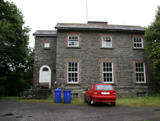 rectory/glebe/vicarage/curate's houserectory/glebe/vicarage/curate's house · 1.3 mi
 Cloghreagh Castle in RuinsCastle, unclassified · 2.0 mi
 Tree IslandWood · 2.0 mi
 CabraMountain / peak · 2.1 mi
 Dún a Rí Forest ParkForest · 2.3 mi
 Natural Play AreaMemorial · 2.3 mi
 In Memory of Our DadMemorial · 2.3 mi
 Castle ruinsCastle, unclassified · 2.4 mi