What is recorded here
Half a kilometre of forgotten life still lies buried beneath the grass in Corrateemore. The earth rises eight metres thick at its strongest point, a pale ridge marking the edge of a home that has watched the valley for centuries. People walked this slope, breathed this air and left their shadows behind long before written history remembered them. The field keeps their shape intact while the world above has forgotten their names.
Situated in a low-lying landscape on a SW-facing slope and c. 20m N of a small canalised W-E stream. This was described in 1967 as an oval grass-covered area (dims 52m NE-SW; 36.3m NW-SE) that slopes down to the SW (H 2.5m). It is defined by a grass-covered earthen bank with bushes W-N-E that is best preserved (Wth 8m; int. H 1m; ext. H 1m) at NE but is reduced to a scarp (at SW: Wth 3m; H 0.8m) elsewhere. There are slight traces of a fosse at S, but the original entrance is not identified. The scrub had been removed by 1995 (OSAP) and its profile is now much diminished.
The above description is derived from the published 'Archaeological Inventory of County Monaghan' (Dublin: Stationery Office, 1986). In certain instances the entries have been revised and updated in the light of recent research.
Date of revision: 6 December 2017
The monument record does not grant public access. Check the route and ask the landowner before entering private land.
- What survives
- Recorded monument
Places near here
 Mass-rock in Lisnamoyle OtraMass-rock · 607 yd
 Enclosure in Lisnamoyle EtraEnclosure · 701 yd
 Old Church (ruin)Church · 1360 yd
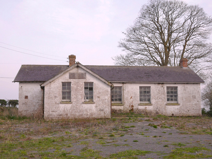 Scoil Náisiúnta Chorr Fuinnseogachschool · 1.1 mi
 KnockreaghMountain / peak · 1.9 mi
 Mannan Castle (in ruins)Castle, Anglo-Norman masonry castle · 2.4 mi
 TobernagalliaghSpring · 2.8 mi
 Fincarn HillMountain / peak · 4.0 mi
 Battle of Newry Roadbattle · 4.4 mi
 Whites IslandIslet · 4.5 mi
 MEDIEVAL & POST-MED. CHURCH & GRAVEYARD in Creggan Bane GlebeMEDIEVAL & POST-MED. CHURCH & GRAVEYARD · 4.8 mi
 Horse-chestnutHorse-chestnut · 4.8 mi