What is recorded here
Fairy forts are death traps for the careless, and Corratanty is no exception. The ring is small, shallow and easy to overlook, but that is exactly why it works. Climb the drumlin at night, circle the grass twice and listen for applause, because the fairies measure generosity by how much you give up. Return before midnight or stop claiming the story is yours.
Located on the summit of a drumlin. A circular embanked enclosure (ext. diam. c. 35m) is depicted here on the 1834 edition of the OS 6-inch map where it is described in gothic lettering as a ‘fort’. This is a small grass-covered area (diam. c. 17m NE-SW) defined by a curve in the field bank N-E and traces of a fosse at S (Wth of top 3m; Wth of base 1.4m; int. H 1m; ext. H 0.5m). The entrance may be a slight dip in the perimeter at SE.
The above description is derived from the published 'Archaeological Inventory of County Monaghan' (Dublin: Stationery Office, 1986). In certain instances the entries have been revised and updated in the light of recent research.
Revised by: Michael Moore
Date of revision: 22 June 2018
The monument record does not grant public access. Check the route and ask the landowner before entering private land.
- What survives
- Recorded monument
Places near here
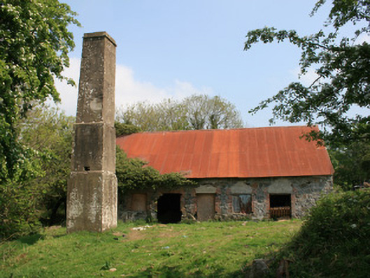 mill (water)mill (water) · 550 yd
 bridgebridge · 1093 yd
 Crannog in MoneyvolanCrannog · 1560 yd
 Fulacht fia in GrigFulacht fia · 1754 yd
 John Francis GreenMemorial · 1.6 mi
 Monaghan WayWalking route · 1.6 mi
 The CrescentMemorial · 1.9 mi
 Bawn in OnomyBawn · 2.3 mi
 Blaney CastleCastle · 2.3 mi
 Harper's IslandIslet · 2.3 mi
 Garmany's IslandIslet · 2.5 mi
 Lough MucknoLake and park landscape · 2.8 mi