
What is recorded here
Located in the NW angle of the rectangular Larragh Lough (dims c. 400m N-S; c. 300-380m N-S), c. 30m form the N and W shores. It is a circular grass-covered platform cairn (diam. 22m; H 1.2m above the water when the level was low). There are no wooden features visible but portion of a boulder kerb constructed of fairly large stones (diam. c. 0.5m) is visible on the SE side.
The above description is derived from the published 'Archaeological Inventory of County Monaghan' (Dublin: Stationery Office, 1986). In certain instances the entries have been revised and updated in the light of recent research.
Revised by: Michael Moore
Date of revision: 22 June 2018
The monument record does not grant public access. Check the route and ask the landowner before entering private land.
- What survives
- Recorded monument
Places near here
 IndicatedEnclosure · 1156 yd
 Stone CircleKiln, lime · 1367 yd
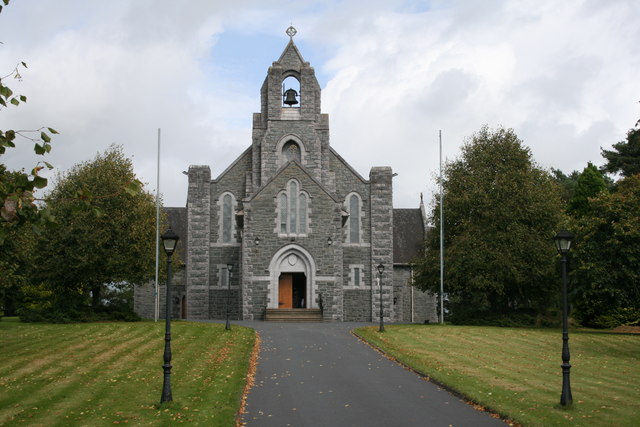 Saint Michael's Catholic Churchchurch/chapel · 1.0 mi
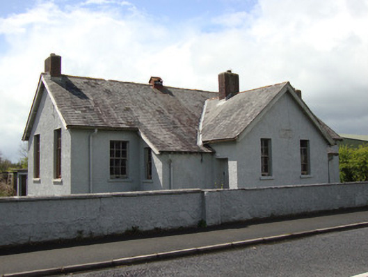 Annyalla National Schoolschool · 1.1 mi
 Monaghan WayWalking route · 1.6 mi
 John Francis GreenMemorial · 2.2 mi
 The CrescentMemorial · 2.3 mi
 Bawn in OnomyBawn · 2.8 mi
 Blaney CastleCastle · 2.8 mi
 Harper's IslandIslet · 3.1 mi
 Garmany's IslandIslet · 3.2 mi
 Lough MucknoLake and park landscape · 3.5 mi
Other information
Photo: Credit not shown in the picture search · Rights wording not checked; contact us if this picture should be removed